UN/LOCODE hub · United States
USILB
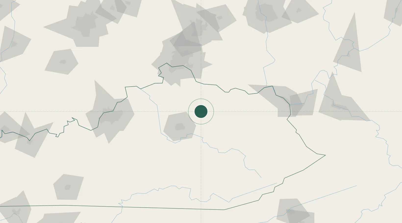
Millersburg
38.3000°, -84.1333°
796
Population
2
Transport functions
Transport Functions
Road
Multimodal
Hub Profile
Place type
Populated place
Region
Kentucky
Population
796
Time zone
America/New_York
Elevation
254 m
Location
Nearby Logistics Neighbours
Cities
- 1Falmouth44 km
- 2Jeffersonville45 km
- 3Augusta53 km
- 4Clay City54 km
- 5Butler57 km
Ports
- 1Huron370 km
- 2Sandusky371 km
- 3Port Clinton372 km
- 4Vermilion380 km
- 5Toledo382 km
Airports
Trade Zones
- 1FTZ No. 046 CIncinnati95 km
- 2FTZ No. 047 Boone County99 km
- 3FTZ No. 054 Clinton County129 km
- 4FTZ No. 029 Louisville145 km
- 5FTZ No. 100 Dayton167 km
DatabookThe Record of Consolidated Knowledge
United States beyond logistics?