Transport Functions
Rail
Road
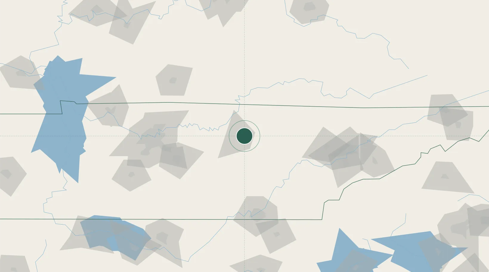
Hub Profile
Place type
Populated place
Region
Tennessee
Population
3,725
Time zone
America/Chicago
Elevation
339 m
Location
Nearby Logistics Neighbours
Cities
- 1Celina41 km
- 2Smithville42 km
- 3Carthage47 km
- 4Byrdstown51 km
- 5Jamestown53 km
Ports
- 1Beaufort604 km
- 2Savannah607 km
- 3Port Royal609 km
- 4Gary626 km
- 5Michigan City630 km
Airports
Trade Zones
- 1FTZ No. 148 Knoxville111 km
- 2FTZ No. 134 Chattanooga121 km
- 3FTZ No. 078 Nashville147 km
- 4FTZ No. 083 Huntsville210 km
- 5FTZ No. 270 Lawrence County218 km
DatabookThe Record of Consolidated Knowledge
United States beyond logistics?