UN/LOCODE hub · United States
USCGJ
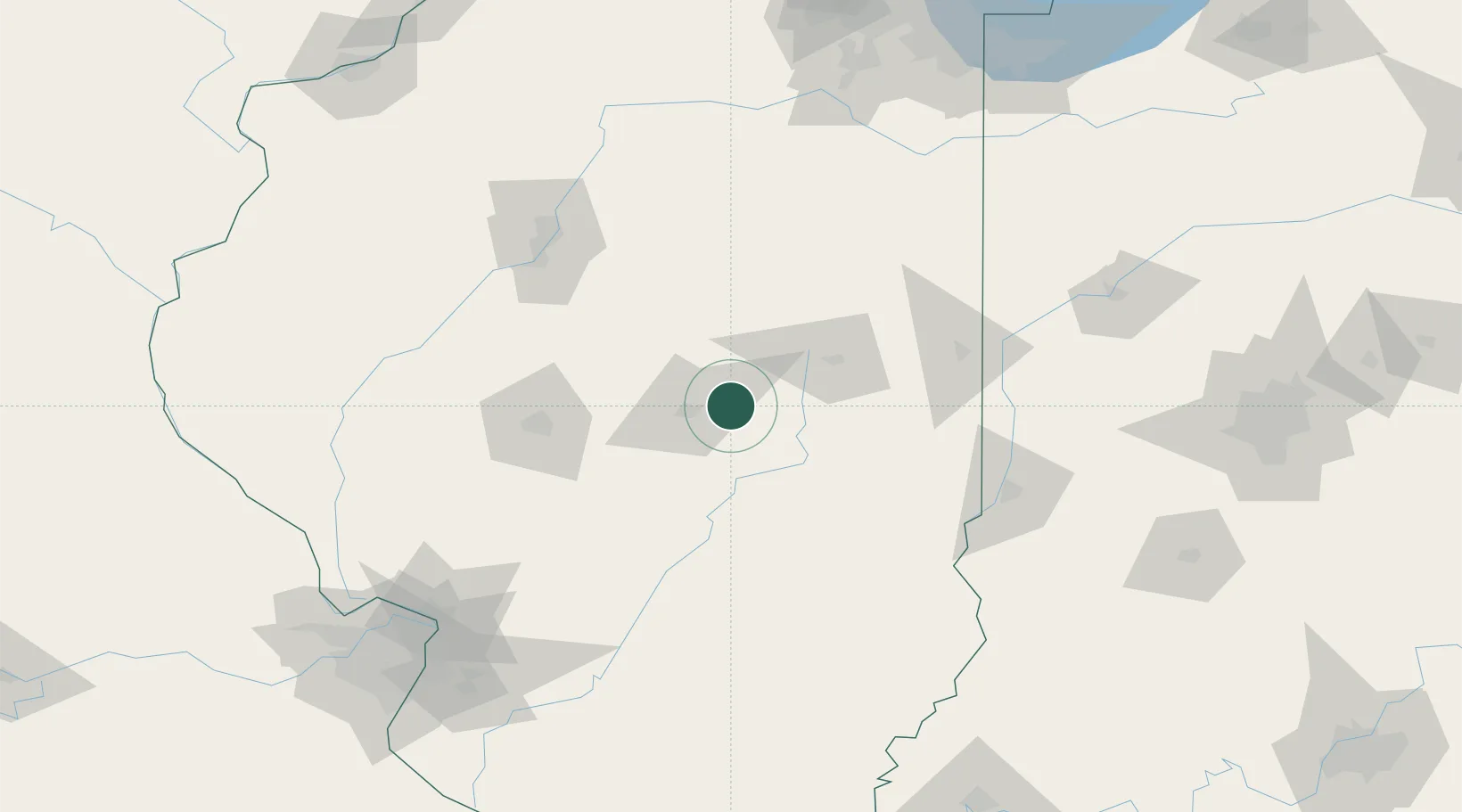
Cerro Gordo
39.8833°, -88.7333°
1,353
Population
2
Transport functions
Transport Functions
Port
Road
Hub Profile
Place type
Populated place
Region
Illinois
Population
1,353
Time zone
America/Chicago
Elevation
226 m
Location
Nearby Logistics Neighbours
Cities
- 1Decatur15 km
- 2Forsyth19 km
- 3Maroa25 km
- 4Warrensburg27 km
- 5Sullivan35 km
Ports
- 1Gary226 km
- 2Indiana Harbor227 km
- 3Calumet Harbor230 km
- 4Chicago242 km
- 5Michigan City257 km
Airports
Trade Zones
- 1FTZ No. 245 Decatur28 km
- 2FTZ No. 114 Peoria116 km
- 3FTZ No. 031 Granite City179 km
- 4FTZ No. 072 Indianapolis207 km
- 5FTZ No. 102 St. Louis County219 km
DatabookThe Record of Consolidated Knowledge
United States beyond logistics?