Transport Functions
Rail
Road
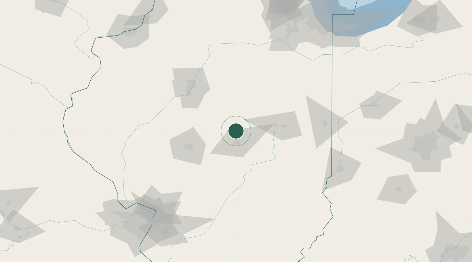
Hub Profile
Place type
Populated place
Region
Illinois
Population
1,739
Time zone
America/Chicago
Elevation
221 m
Location
Nearby Logistics Neighbours
Cities
- 1Forsyth11 km
- 2Warrensburg16 km
- 3Decatur18 km
- 4Cerro Gordo25 km
- 5Heyworth30 km
Ports
- 1Indiana Harbor222 km
- 2Gary223 km
- 3Calumet Harbor224 km
- 4Chicago235 km
- 5Wilmette252 km
Airports
Trade Zones
- 1FTZ No. 245 Decatur22 km
- 2FTZ No. 114 Peoria91 km
- 3FTZ No. 031 Granite City180 km
- 4FTZ No. 055 Burlington202 km
- 5FTZ No. 102 St. Louis County216 km
DatabookThe Record of Consolidated Knowledge
United States beyond logistics?