UN/LOCODE hub · United States
USNBL
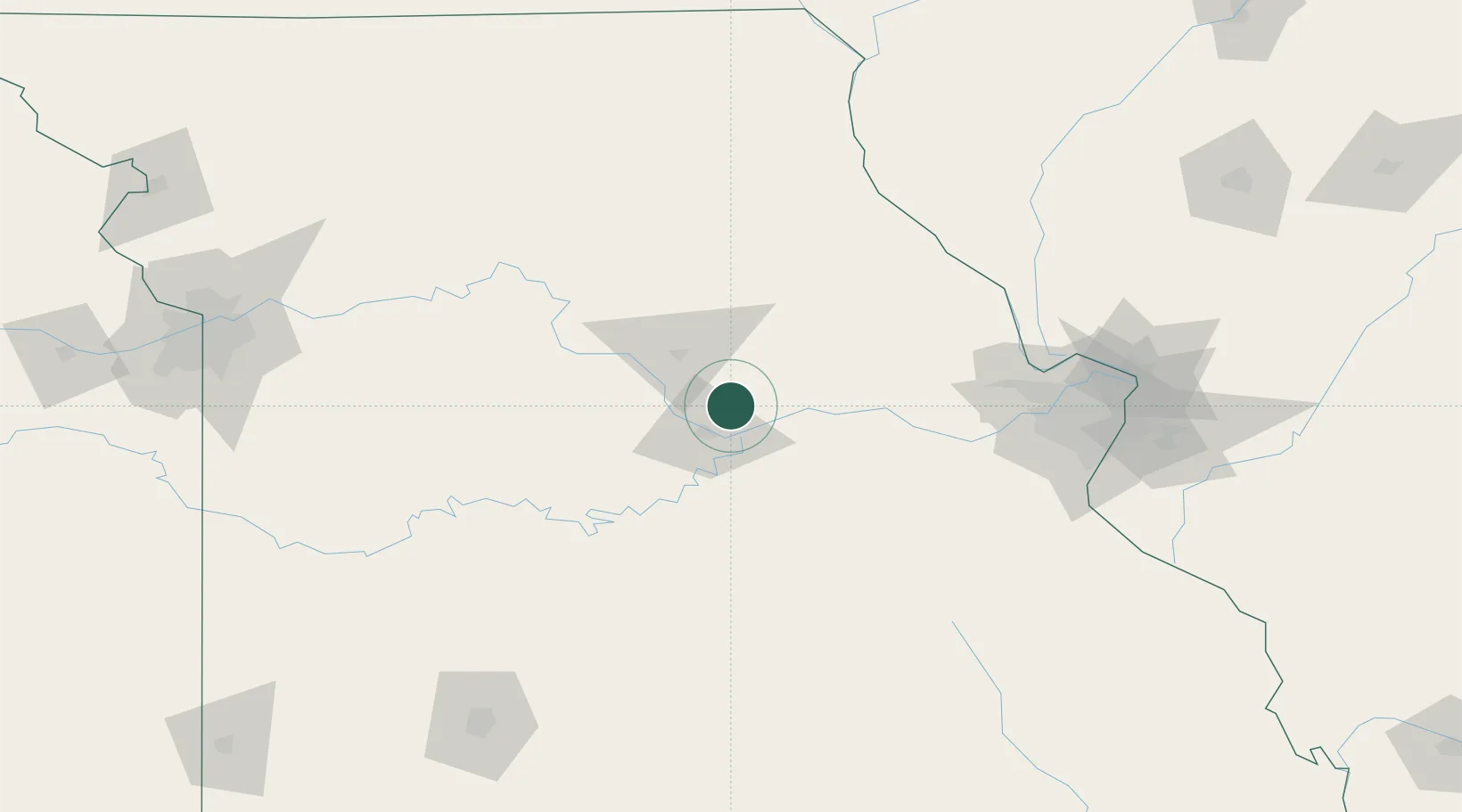
New Bloomfield
38.7167°, -92.0833°
676
Population
3
Transport functions
Transport Functions
Port
Road
Multimodal
Hub Profile
Place type
Populated place
Region
Missouri
Population
676
Time zone
America/Chicago
Elevation
263 m
Location
Nearby Logistics Neighbours
Cities
- 1Kingdom City29 km
- 2California43 km
- 3Lexington48 km
- 4Centralia56 km
- 5Hermann56 km
Ports
- 1Port Of Memphis440 km
- 2Calumet Harbor513 km
- 3Indiana Harbor513 km
- 4Gary517 km
- 5Chicago518 km
Airports
Trade Zones
- 1FTZ No. 102 St. Louis County120 km
- 2FTZ No. 031 Granite City163 km
- 3FTZ No. 225 Springfield193 km
- 4FTZ No. 017 Kansas City244 km
- 5FTZ No. 015 Kansas City244 km
DatabookThe Record of Consolidated Knowledge
United States beyond logistics?