UN/LOCODE hub · United States
USBWF
Bellows Falls
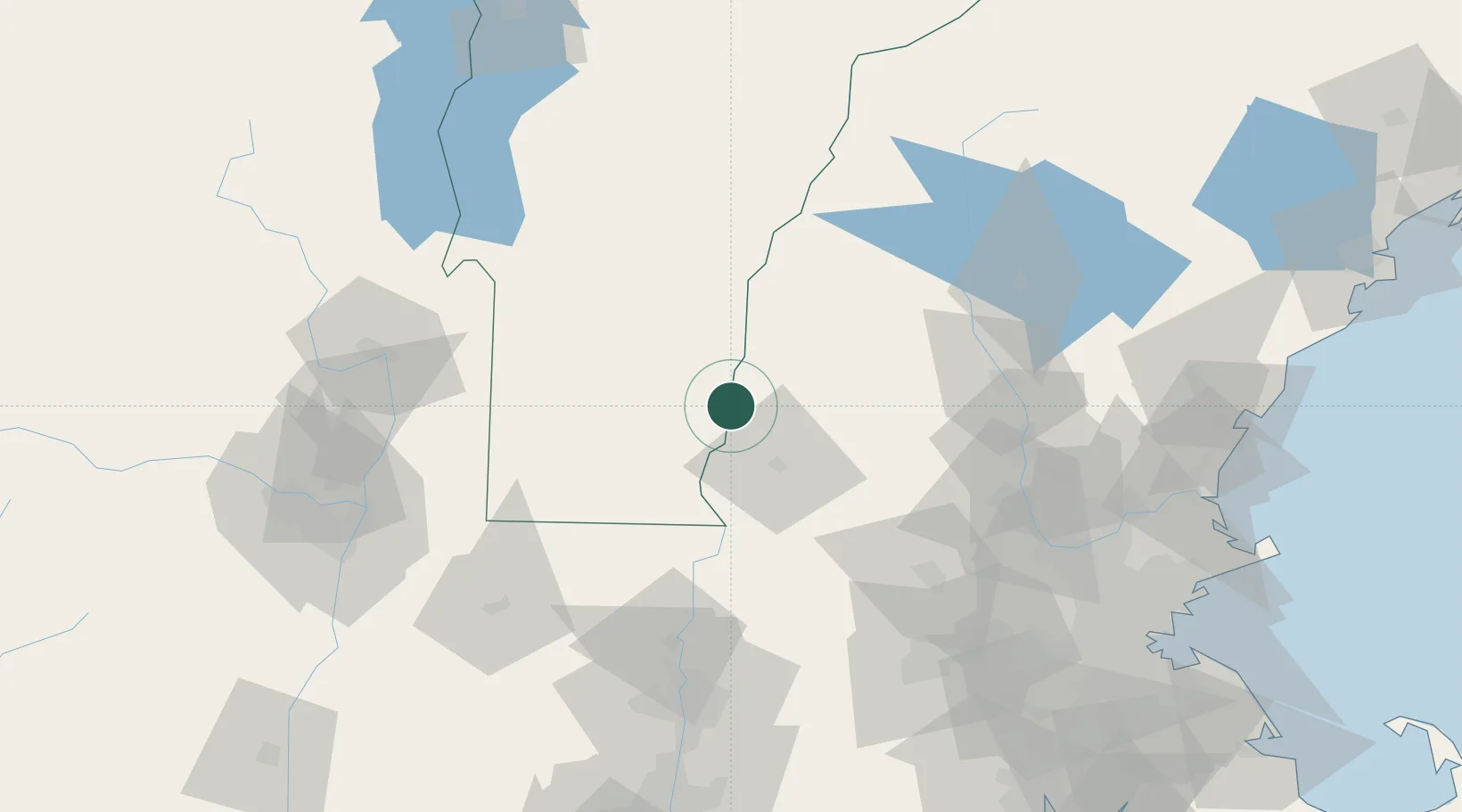
43.1333°, -72.4500°
3,048
Population
2
Transport functions
Transport Functions
Rail
Road
Hub Profile
Place type
Populated place
Region
Vermont
Population
3,048
Time zone
America/New_York
Elevation
95 m
Location
Nearby Logistics Neighbours
Cities
- 1Alstead7 km
- 2Charlestown11 km
- 3Chester18 km
- 4Sullivan24 km
- 5Spofford26 km
Ports
- 1Troy111 km
- 2Albany119 km
- 3Rensselaer119 km
- 4Newburyport134 km
- 5Portsmouth138 km
Airports
Trade Zones
- 1FTZ No. 268 Brattleboro33 km
- 2FTZ No. 201 Holyoke103 km
- 3FTZ No. 121 Albany121 km
- 4FTZ No. 081 Portsmouth131 km
- 5FTZ No. 071 Windsor Locks135 km
DatabookThe Record of Consolidated Knowledge
United States beyond logistics?