UN/LOCODE hub · United States
USCAL

Calais

45.1833°, -67.2667°
2,980
Population
3
Transport functions

Transport Functions

Rail
Road
Border Crossing
UN/LOCODE

Hub Profile

Place type
Populated place
GeoNames
Region
Maine
GeoNames
Population
2,980
GeoNames
Time zone
America/New_York
GeoNames
Elevation
13 m
GeoNames

Location

Location of USCAL
Natural Earth 10m (public domain) · Maine · USCAL · 45.18, -67.27GoogleOSMYandex

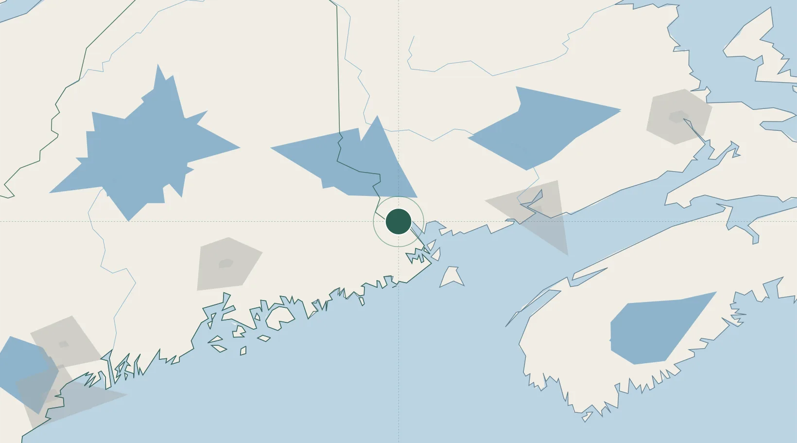
Nearby Logistics Neighbours

Cities
  1. 1Bayside, Charlotte13 km
  2. 2Deer Island34 km
  3. 3Saint-George35 km
  4. 4Eastport39 km
  5. 5Lubec43 km
Nearest neighbours — logibook spatial index (haversine) over the source coordinates
Ports
  1. 1Port Bayside Nb11 km
  2. 2Eastport39 km
  3. 3Lubec42 km
  4. 4Machias54 km
  5. 5Machiasport55 km
Nearest neighbours — logibook spatial index (haversine) over the source coordinates
Airports
  1. 1Fredericton International Airport95 km
  2. 2Saint John Airport109 km
  3. 3Houlton International Airport112 km
  4. 4Hancock County-Bar Harbor Airport119 km
  5. 5Bangor International Airport130 km
Nearest neighbours — logibook spatial index (haversine) over the source coordinates
Trade Zones
  1. 1Saint John94 km
  2. 2FTZ No. 058 Bangor129 km
  3. 3FTZ No. 186 Waterville205 km
  4. 4FTZ No. 179 Madawaska247 km
  5. 5FTZ No. 263 Auburn262 km
Nearest neighbours — logibook spatial index (haversine) over the source coordinates
DatabookThe Record of Consolidated Knowledge
United States beyond logistics?
Browse databook

All Sources

LocationsUN/LOCODE
UN/LOCODE — free
LocationsGeoNames
CC BY 4.0
Portsthe NGA World Port Index
Public domain (US gov)
AirportsOurAirports
Public domain
Trade Zonesthe World Bank SEZ database
CC BY 4.0
Trade ZonesOpen Zone Map
CC BY
← United States locations