Transport Functions
Port
Road
Hub Profile
Region
NB
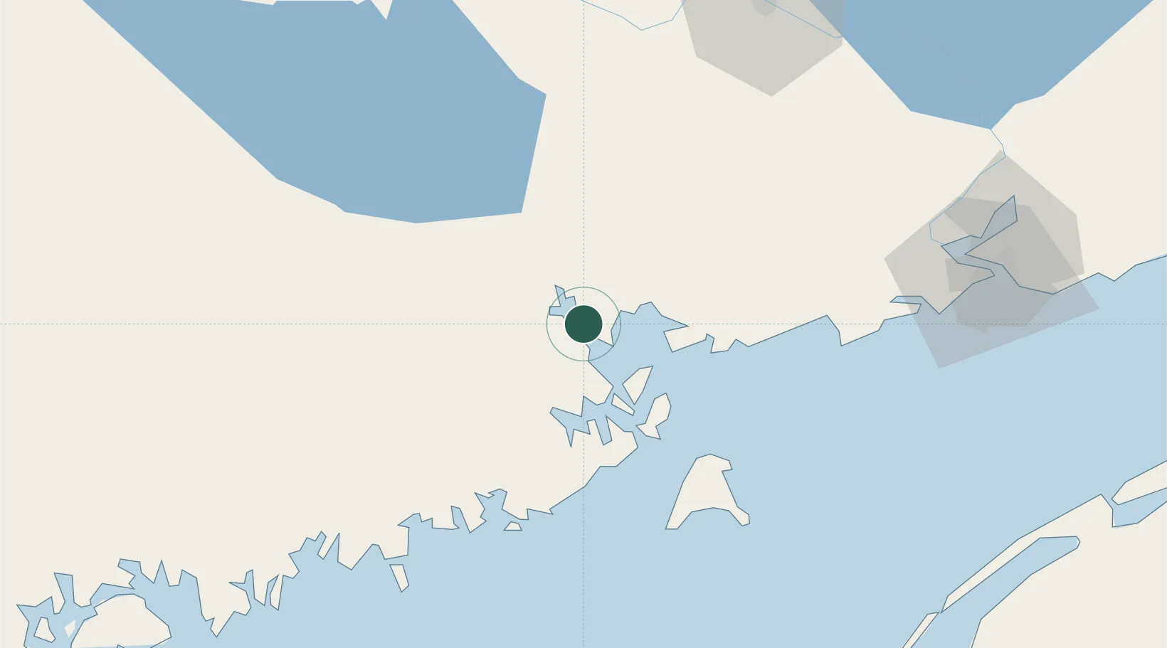
Location
Nearby Logistics Neighbours
Cities
- 1Calais13 km
- 2Deer Island22 km
- 3Saint-George22 km
- 4Eastport28 km
- 5Edgar32 km
Ports
- 1Eastport28 km
- 2Lubec32 km
- 3Machiasport53 km
- 4Machias54 km
- 5Jonesport78 km
Airports
Trade Zones
- 1Saint John84 km
- 2FTZ No. 058 Bangor139 km
- 3FTZ No. 186 Waterville214 km
- 4FTZ No. 179 Madawaska257 km
- 5FTZ No. 263 Auburn271 km
DatabookThe Record of Consolidated Knowledge
Canada beyond logistics?