UN/LOCODE hub · United States
USVED

Vineyard

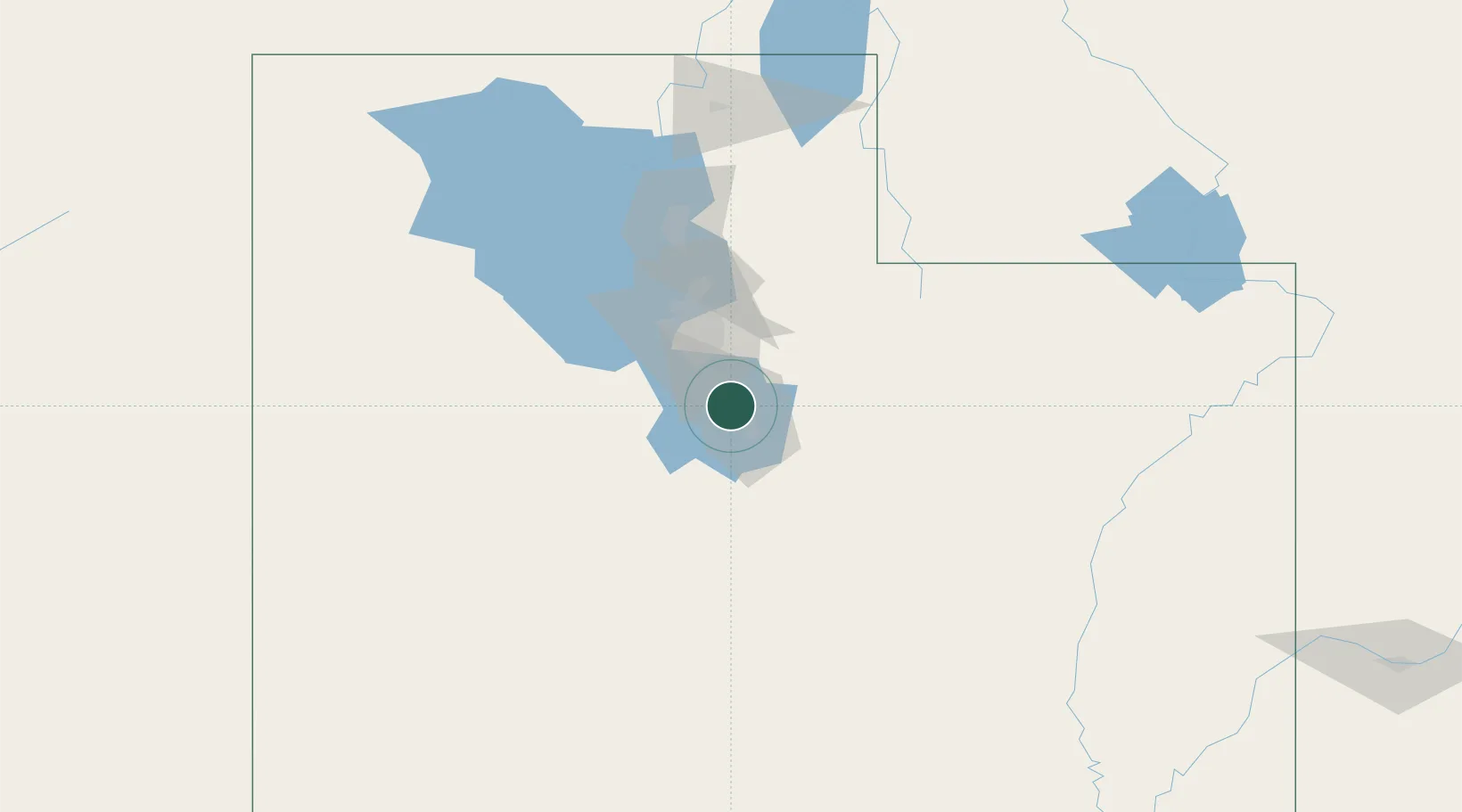
40.3167°, -111.7500°
3,195
Population
3
Transport functions

Transport Functions

Port
Rail
Road
UN/LOCODE

Hub Profile

Place type
Populated place
GeoNames
Region
Utah
GeoNames
Population
3,195
GeoNames
Time zone
America/Denver
GeoNames
Elevation
1,379 m
GeoNames

Location

Location of USVED
Natural Earth 10m (public domain) · Utah · USVED · 40.32, -111.75GoogleOSMYandex

Nearby Logistics Neighbours

Cities
  1. 1Cedar Hills9 km
  2. 2Draper23 km
  3. 3Bluffdale24 km
  4. 4Riverton29 km
  5. 5South Jordan30 km
Nearest neighbours — logibook spatial index (haversine) over the source coordinates
Ports
  1. 1Sacramento859 km
  2. 2Stockton864 km
  3. 3Walnut Grove872 km
  4. 4Courtland872 km
  5. 5Isleton881 km
Nearest neighbours — logibook spatial index (haversine) over the source coordinates
Airports
  1. 1Provo Municipal Airport11 km
  2. 2South Valley Regional Airport40 km
  3. 3Salt Lake City International Airport56 km
  4. 4Hill Air Force Base92 km
  5. 5Ogden Hinckley Airport100 km
Nearest neighbours — logibook spatial index (haversine) over the source coordinates
Trade Zones
  1. 1FTZ No. 030 Salt Lake City55 km
  2. 2FTZ No. 280 Ada and Canyon Counties564 km
  3. 3FTZ No. 298 Jefferson County565 km
  4. 4FTZ No. 123 Denver579 km
  5. 5FTZ No. 112 Colorado Springs616 km
Nearest neighbours — logibook spatial index (haversine) over the source coordinates
DatabookThe Record of Consolidated Knowledge
United States beyond logistics?
Browse databook

All Sources

LocationsUN/LOCODE
UN/LOCODE — free
LocationsGeoNames
CC BY 4.0
Portsthe NGA World Port Index
Public domain (US gov)
AirportsOurAirports
Public domain
Trade Zonesthe World Bank SEZ database
CC BY 4.0
Trade ZonesOpen Zone Map
CC BY
← United States locations