UN/LOCODE hub · United States
USGGN

Georgetown, Fairfield

41.2500°, -73.4333°
3
Transport functions

Transport Functions

Rail
Road
Multimodal
UN/LOCODE

Hub Profile

Region
CT
GeoNames

Location

Location of USGGN
Natural Earth 10m (public domain) · CT · USGGN · 41.25, -73.43GoogleOSMYandex

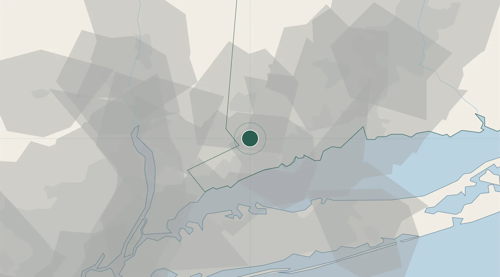
Nearby Logistics Neighbours

Cities
  1. 1Ridgefield7 km
  2. 2Pound Ridge13 km
  3. 3North Salem15 km
  4. 4Brewster21 km
  5. 5Purchase24 km
Nearest neighbours — logibook spatial index (haversine) over the source coordinates
Ports
  1. 1Norwalk17 km
  2. 2Southport18 km
  3. 3Bridgeport23 km
  4. 4Stamford26 km
  5. 5Greenwich30 km
Nearest neighbours — logibook spatial index (haversine) over the source coordinates
Airports
  1. 1Danbury Municipal Airport14 km
  2. 2Igor I Sikorsky Memorial Airport27 km
  3. 3Westchester County Airport31 km
  4. 4Tweed New Haven Airport46 km
  5. 5Dutchess County Airport56 km
Nearest neighbours — logibook spatial index (haversine) over the source coordinates
Trade Zones
  1. 1FTZ No. 076 Bridgeport22 km
  2. 2FTZ No. 052 Suffolk County42 km
  3. 3FTZ No. 162 New Haven43 km
  4. 4FTZ No. 001 New York City77 km
  5. 5FTZ No. 049 Newark Elizabeth88 km
Nearest neighbours — logibook spatial index (haversine) over the source coordinates
DatabookThe Record of Consolidated Knowledge
United States beyond logistics?
Browse databook

All Sources

LocationsUN/LOCODE
UN/LOCODE — free
Portsthe NGA World Port Index
Public domain (US gov)
AirportsOurAirports
Public domain
Trade Zonesthe World Bank SEZ database
CC BY 4.0
Trade ZonesOpen Zone Map
CC BY
← United States locations