UN/LOCODE hub · United States
USPG8
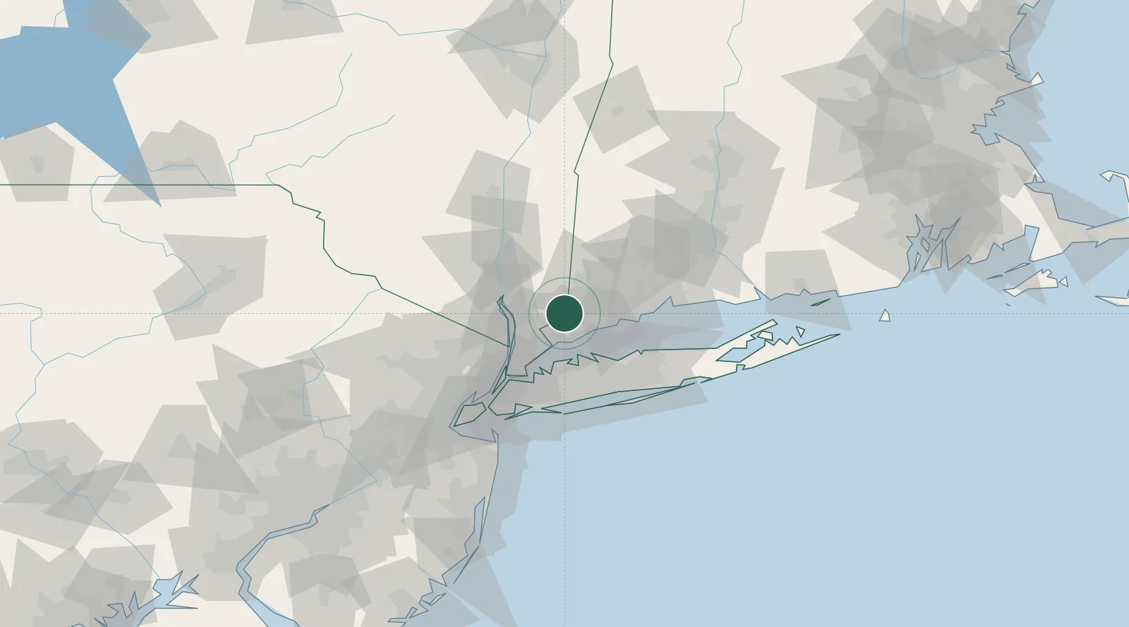
Pound Ridge
41.2000°, -73.5667°
5,104
Population
2
Transport functions
Transport Functions
Port
Multimodal
Hub Profile
Place type
Populated place
Region
New York
Population
5,104
Time zone
America/New_York
Elevation
189 m
Location
Nearby Logistics Neighbours
Cities
- 1Ridgefield11 km
- 2Georgetown, Fairfield13 km
- 3North Salem15 km
- 4Chappaqua16 km
- 5Thornwood19 km
Ports
- 1Norwalk17 km
- 2Stamford19 km
- 3Greenwich21 km
- 4Port Chester24 km
- 5Southport25 km
Airports
- 1Westchester County Airport19 km
- 2Danbury Municipal Airport20 km
- 3Igor I Sikorsky Memorial Airport37 km
- 4LaGuardia Airport54 km
- 5Republic Airport54 km
Trade Zones
DatabookThe Record of Consolidated Knowledge
United States beyond logistics?