Transport Functions
Multimodal
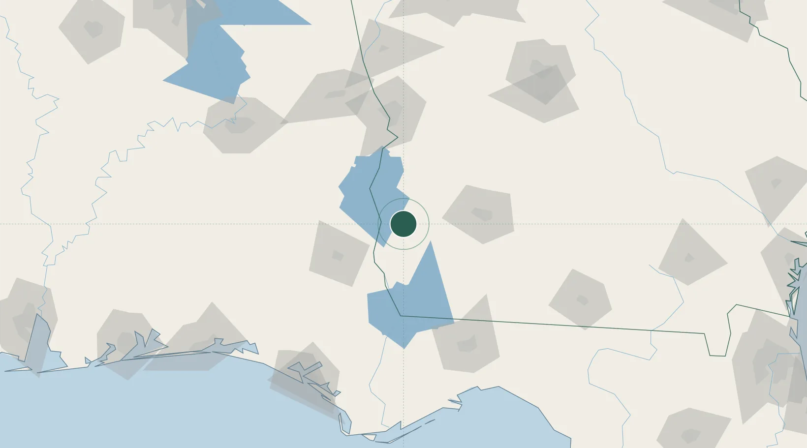
Hub Profile
Place type
Populated place
Region
Georgia
Population
101
Time zone
America/New_York
Elevation
97 m
Location
Nearby Logistics Neighbours
Cities
- 1Gordon49 km
- 2Ashford53 km
- 3Donalsonville54 km
- 4Bronwood58 km
- 5Latonia68 km
Ports
- 1Panama City172 km
- 2Carrabelle186 km
- 3Port St Joe194 km
- 4Apalachicola201 km
- 5Pensacola258 km
Airports
Trade Zones
- 1FTZ No. 233 Dothan64 km
- 2FTZ No. 222 Montgomery168 km
- 3FTZ No. 065 Panama City169 km
- 4FTZ No. 026 Atlanta253 km
- 5FTZ No. 249 Pensacola260 km
DatabookThe Record of Consolidated Knowledge
United States beyond logistics?