UN/LOCODE hub · United States
USP3N
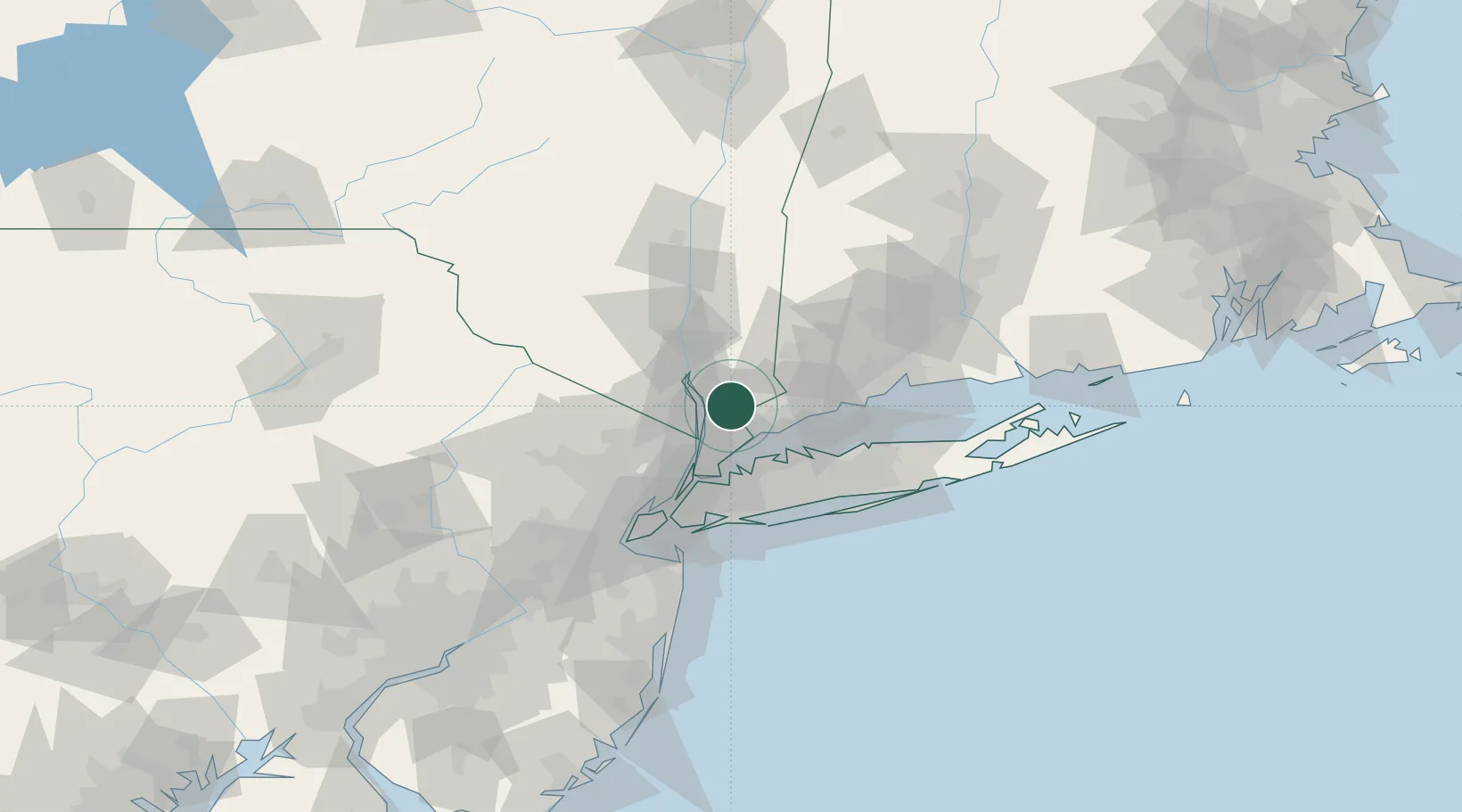
Chappaqua
41.1500°, -73.7500°
1,436
Population
2
Transport functions
Transport Functions
Port
Road
Hub Profile
Place type
Populated place
Region
New York
Population
1,436
Time zone
America/New_York
Elevation
150 m
Location
Nearby Logistics Neighbours
Cities
- 1Thornwood4 km
- 2Briarcliff Manor6 km
- 3Valhalla9 km
- 4North White Plains11 km
- 5Sleepy Hollow Manor11 km
Ports
- 1Port Chester18 km
- 2Greenwich19 km
- 3Stamford21 km
- 4Yonkers27 km
- 5Norwalk29 km
Airports
- 1Westchester County Airport10 km
- 2Danbury Municipal Airport33 km
- 3Teterboro Airport42 km
- 4LaGuardia Airport43 km
- 5West 30th Street Heliport49 km
Trade Zones
DatabookThe Record of Consolidated Knowledge
United States beyond logistics?