Transport Functions
Road
Multimodal
Hub Profile
Place type
Populated place
Region
North Carolina
Population
378
Time zone
America/New_York
Elevation
282 m
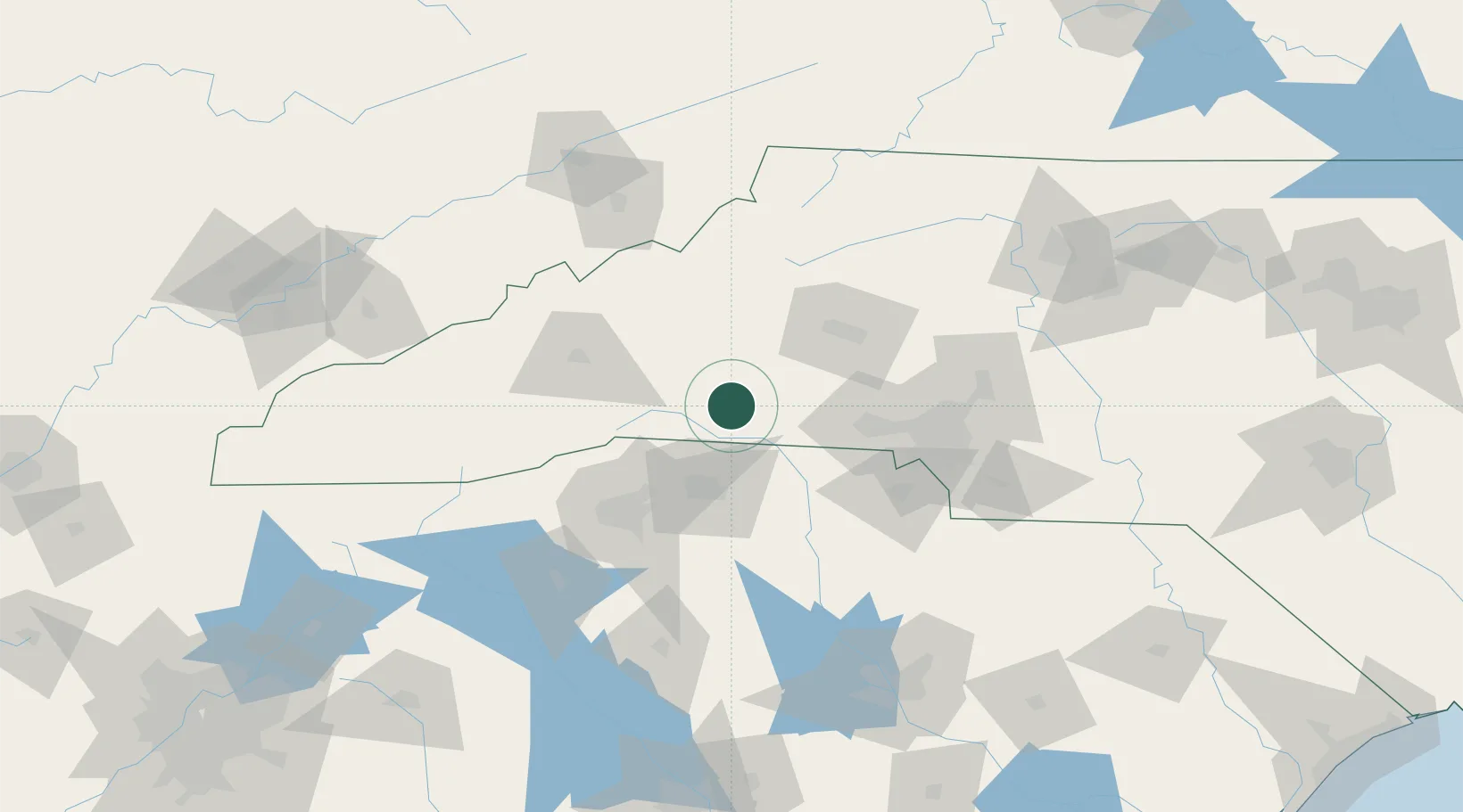
Location
Nearby Logistics Neighbours
Cities
- 1Ellenboro9 km
- 2Mooresboro14 km
- 3Lawndale26 km
- 4Glenwood, McDowell31 km
- 5Mayo32 km
Ports
- 1Georgetown323 km
- 2Charleston337 km
- 3Beaufort344 km
- 4Port Royal350 km
- 5Savannah372 km
Airports
Trade Zones
DatabookThe Record of Consolidated Knowledge
United States beyond logistics?