UN/LOCODE hub · United States
USOQA

Oakland

28.5500°, -81.6333°
2,829
Population
2
Transport functions

Transport Functions

Road
Multimodal
UN/LOCODE

Hub Profile

Place type
Populated place
GeoNames
Region
Florida
GeoNames
Population
2,829
GeoNames
Time zone
America/New_York
GeoNames
Elevation
37 m
GeoNames

Location

Location of USOQA
Natural Earth 10m (public domain) · Florida · USOQA · 28.55, -81.63GoogleOSMYandex

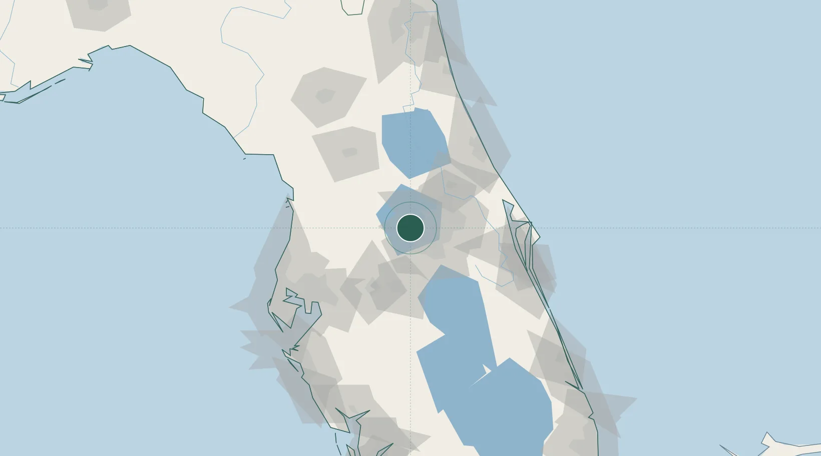
Nearby Logistics Neighbours

Cities
  1. 1Ocoee10 km
  2. 2Astatula19 km
  3. 3Bay Lake24 km
  4. 4Mascotte25 km
  5. 5Maitland27 km
Nearest neighbours — logibook spatial index (haversine) over the source coordinates
Ports
  1. 1Canaveral Harbor101 km
  2. 2Tampa107 km
  3. 3Tarpon Springs120 km
  4. 4Sankt-Peterburg130 km
  5. 5Port Manatee137 km
Nearest neighbours — logibook spatial index (haversine) over the source coordinates
Airports
  1. 1Orlando Executive Airport29 km
  2. 2Orlando International Airport34 km
  3. 3Kissimmee Gateway Airport35 km
  4. 4Leesburg International Airport35 km
  5. 5Orlando Sanford International Airport46 km
Nearest neighbours — logibook spatial index (haversine) over the source coordinates
Trade Zones
  1. 1FTZ No. 042 Orlando14 km
  2. 2FTZ No. 250 Seminole County34 km
  3. 3FTZ No. 136 Brevard County47 km
  4. 4FTZ No. 198 Volusia County55 km
  5. 5FTZ No. 079 Tampa104 km
Nearest neighbours — logibook spatial index (haversine) over the source coordinates
DatabookThe Record of Consolidated Knowledge
United States beyond logistics?
Browse databook

All Sources

LocationsUN/LOCODE
UN/LOCODE — free
LocationsGeoNames
CC BY 4.0
Portsthe NGA World Port Index
Public domain (US gov)
AirportsOurAirports
Public domain
Trade Zonesthe World Bank SEZ database
CC BY 4.0
Trade ZonesOpen Zone Map
CC BY
← United States locations