Transport Functions
Rail
Road
Hub Profile
Place type
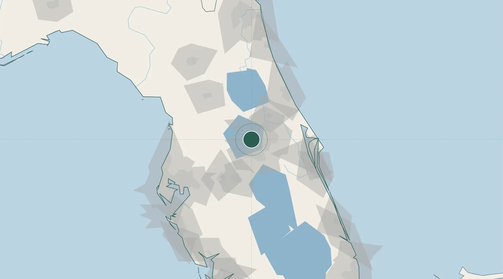
Populated place
Region
Florida
Population
43,608
Time zone
America/New_York
Elevation
37 m
Location
Nearby Logistics Neighbours
Cities
- 1Oakland10 km
- 2Bay Lake15 km
- 3Maitland17 km
- 4Astatula22 km
- 5Casselberry23 km
Ports
- 1Canaveral Harbor90 km
- 2Tampa116 km
- 3Tarpon Springs130 km
- 4Sankt-Peterburg140 km
- 5Port Manatee146 km
Airports
Trade Zones
- 1FTZ No. 042 Orlando12 km
- 2FTZ No. 250 Seminole County24 km
- 3FTZ No. 136 Brevard County42 km
- 4FTZ No. 198 Volusia County49 km
- 5FTZ No. 079 Tampa114 km
DatabookThe Record of Consolidated Knowledge
United States beyond logistics?