Medium airport · United States

Kissimmee Gateway AirportKISM

28.2898°, -81.4371°
6,001 ft
Longest runway
2
Runways
82 ft
Elevation

Runway & Layout

Kissimmee Gateway Airport runway & taxiway layout
Runway & taxiway layout — OpenStreetMap (ODbL) / OurAirports

Radio Frequencies

AWOS
128.775 MHz
AWOS 3
TWR
124.45 MHz
GND
121.7 MHz
CLD
119.95 MHz
ORLANDO CLNC DEL
CTAF
124.45 MHz
A/D
119.4 MHz
ORLANDO APP/DEP
UNIC
122.95 MHz
UNICOM
OurAirports

Runways · 2

RunwayDimensions SurfaceTrue headingLit
15/33 6,001 × 100ft Asphalt 148°
06/24 5,001 × 100ft Asphalt 058°
OurAirports

Airport Specifications

IATA code
ISM
OurAirports
ICAO code
KISM
OurAirports
Airport class
Medium airport
OurAirports
Scheduled service
No
OurAirports
Runway surface
Asphalt
OurAirports
Served city
Orlando
OurAirports

Location

Location of KISM
Natural Earth 10m (public domain) · Florida · KISM · 28.29, -81.44GoogleOSMYandex

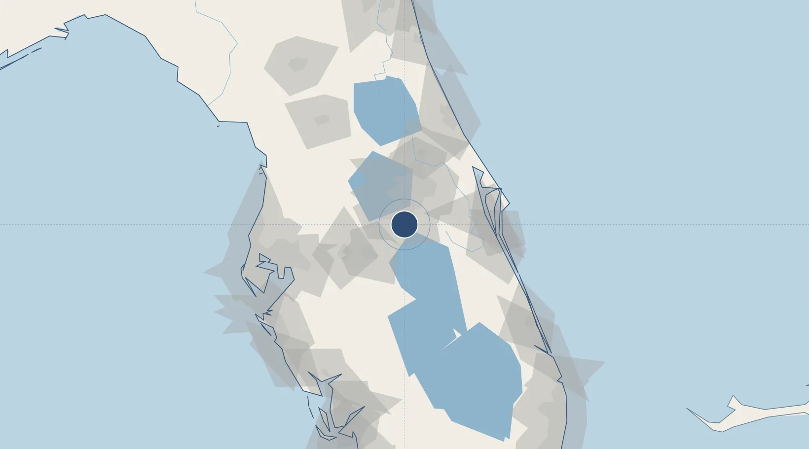
Nearby Logistics Neighbours

Airports
  1. 1Orlando International Airport20 km
  2. 2Orlando Executive Airport30 km
  3. 3Orlando Sanford International Airport57 km
  4. 4Lakeland Linder International Airport66 km
  5. 5Space Coast Regional Airport67 km
Nearest neighbours — logibook spatial index (haversine) over the source coordinates
Cities
  1. 1Bay Lake29 km
  2. 2Ocoee34 km
  3. 3Oakland35 km
  4. 4Dundee35 km
  5. 5Maitland37 km
Nearest neighbours — logibook spatial index (haversine) over the source coordinates
Ports
  1. 1Canaveral Harbor92 km
  2. 2Tampa108 km
  3. 3Sankt-Peterburg130 km
  4. 4Tarpon Springs131 km
  5. 5Port Manatee133 km
Nearest neighbours — logibook spatial index (haversine) over the source coordinates
Trade Zones
  1. 1FTZ No. 136 Brevard County19 km
  2. 2FTZ No. 042 Orlando22 km
  3. 3FTZ No. 250 Seminole County51 km
  4. 4FTZ No. 198 Volusia County82 km
  5. 5FTZ No. 215 Sebring92 km
Nearest neighbours — logibook spatial index (haversine) over the source coordinates
DatabookThe Record of Consolidated Knowledge
United States beyond logistics?
Browse databook

All Sources

AirportsOurAirports
Public domain
Portsthe NGA World Port Index
Public domain (US gov)
LocationsUN/LOCODE
UN/LOCODE — free
Trade Zonesthe World Bank SEZ database
CC BY 4.0
Trade ZonesOpen Zone Map
CC BY
InfrastructureOpenStreetMap
ODbL 1.0
← United States airports