UN/LOCODE hub · United States
USXVB
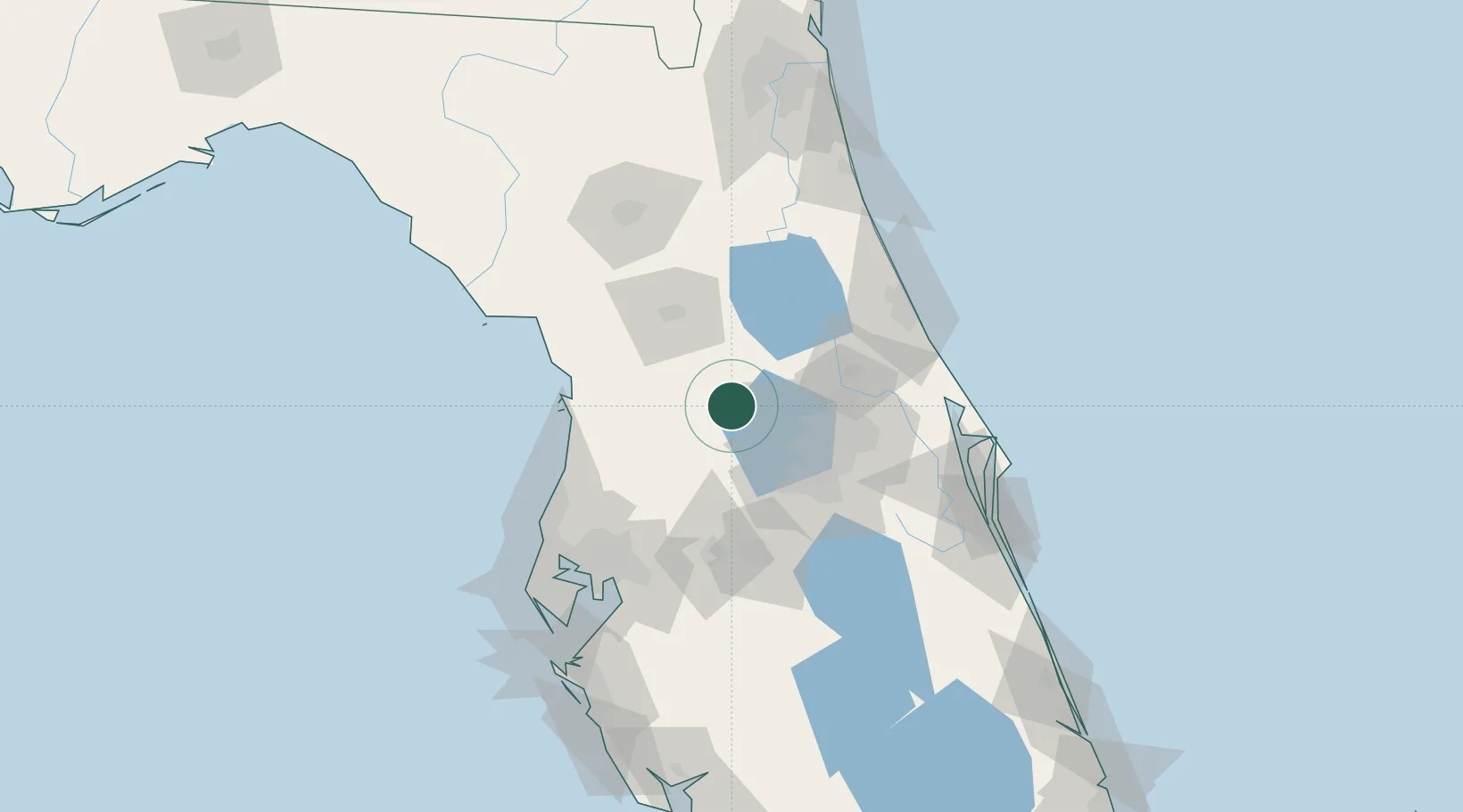
Hawthorne
28.7500°, -81.8667°
1,475
Population
2
Transport functions
Transport Functions
Port
Multimodal
Hub Profile
Place type
Populated place
Region
Florida
Population
1,475
Time zone
America/New_York
Elevation
24 m
Location
Nearby Logistics Neighbours
Cities
- 1Fruitland Park12 km
- 2Astatula16 km
- 3Center Hill17 km
- 4Sumterville18 km
- 5Mascotte21 km
Ports
- 1Tampa109 km
- 2Tarpon Springs110 km
- 3Canaveral Harbor122 km
- 4Sankt-Peterburg132 km
- 5St Augustine139 km
Airports
Trade Zones
- 1FTZ No. 042 Orlando46 km
- 2FTZ No. 250 Seminole County49 km
- 3FTZ No. 198 Volusia County50 km
- 4FTZ No. 136 Brevard County78 km
- 5FTZ No. 079 Tampa105 km
DatabookThe Record of Consolidated Knowledge
United States beyond logistics?