UN/LOCODE hub · United States
USMO5
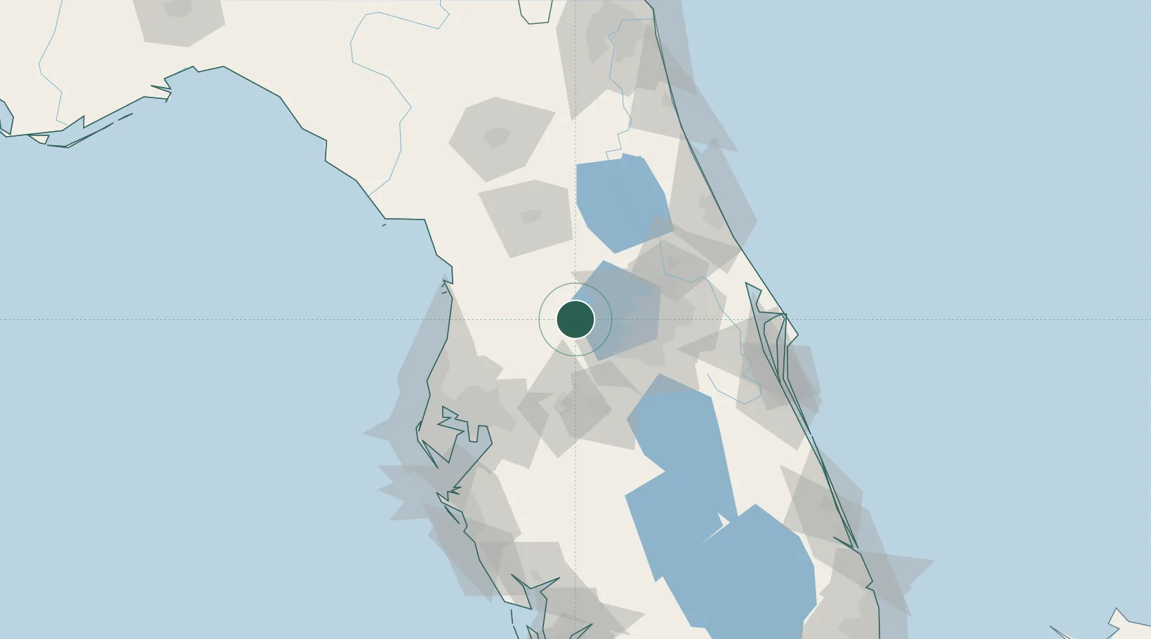
Mascotte
28.5667°, -81.8833°
5,473
Population
2
Transport functions
Transport Functions
Road
Multimodal
Hub Profile
Place type
Populated place
Region
Florida
Population
5,473
Time zone
America/New_York
Elevation
41 m
Location
Nearby Logistics Neighbours
Cities
- 1Center Hill15 km
- 2Webster17 km
- 3Hawthorne21 km
- 4Astatula22 km
- 5Bushnell23 km
Ports
- 1Tampa91 km
- 2Tarpon Springs98 km
- 3Sankt-Peterburg114 km
- 4Port Manatee124 km
- 5Canaveral Harbor125 km
Airports
Trade Zones
- 1FTZ No. 042 Orlando38 km
- 2FTZ No. 250 Seminole County55 km
- 3FTZ No. 198 Volusia County66 km
- 4FTZ No. 136 Brevard County69 km
- 5FTZ No. 079 Tampa88 km
DatabookThe Record of Consolidated Knowledge
United States beyond logistics?