Transport Functions
Rail
Road
Hub Profile
Place type
Populated place
Region
Illinois
Population
1,613
Time zone
America/Chicago
Elevation
199 m
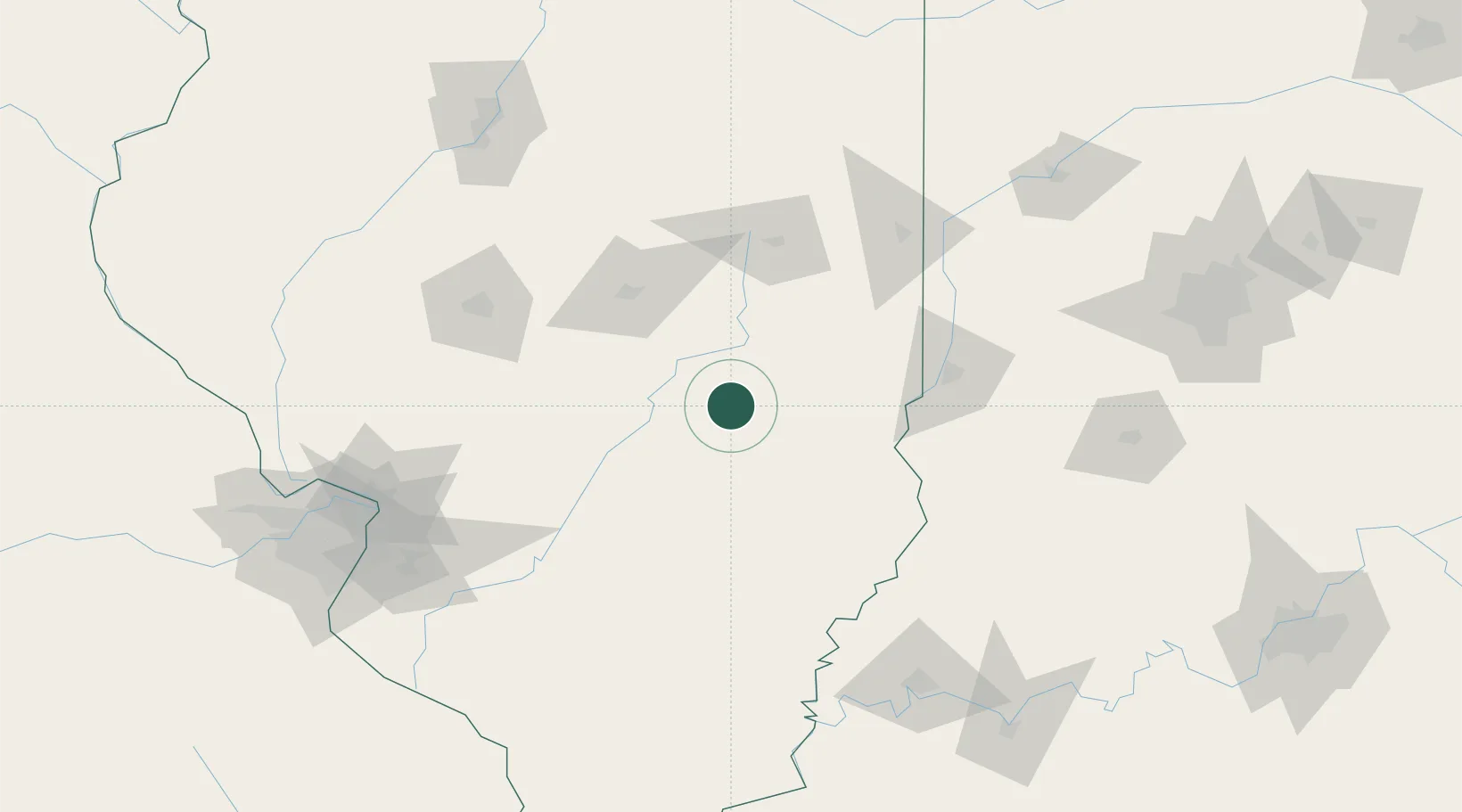
Location
Nearby Logistics Neighbours
Cities
- 1Greenup26 km
- 2Holland, Effingham28 km
- 3Sullivan32 km
- 4Casey40 km
- 5Martinsville49 km
Ports
- 1Gary273 km
- 2Indiana Harbor275 km
- 3Calumet Harbor280 km
- 4Chicago294 km
- 5Michigan City299 km
Airports
Trade Zones
- 1FTZ No. 245 Decatur79 km
- 2FTZ No. 177 Evansville164 km
- 3FTZ No. 031 Granite City164 km
- 4FTZ No. 114 Peoria181 km
- 5FTZ No. 072 Indianapolis189 km
DatabookThe Record of Consolidated Knowledge
United States beyond logistics?