Transport Functions
Port
Road
Hub Profile
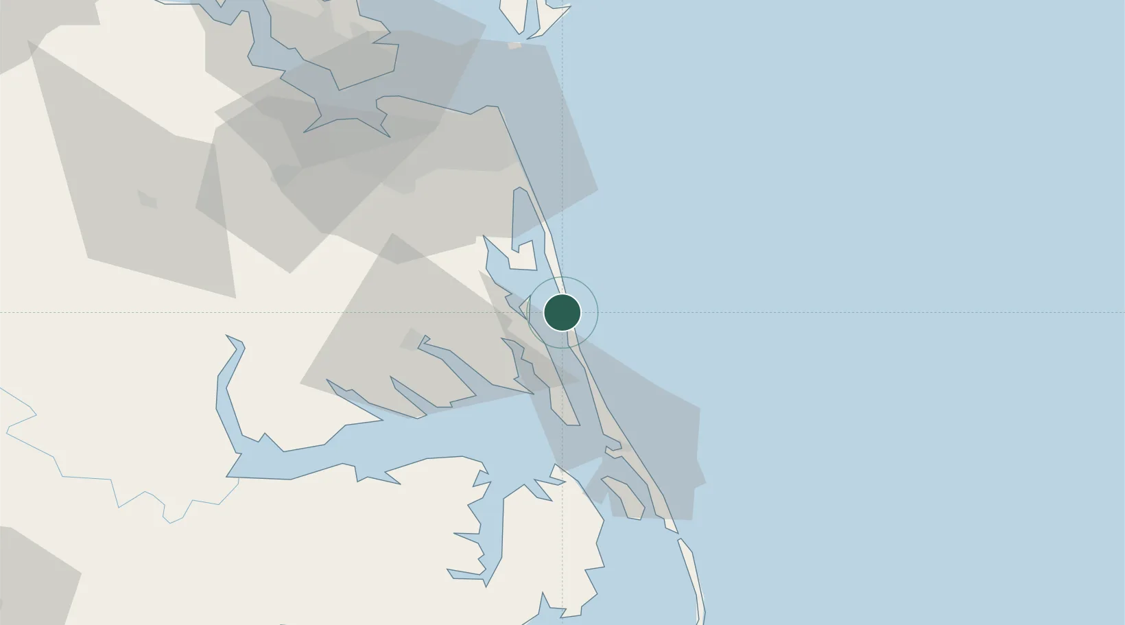
Place type
Populated place
Region
North Carolina
Time zone
America/New_York
Elevation
2 m
Location
Nearby Logistics Neighbours
Cities
- 1Winton9 km
- 2Jarvisburg21 km
- 3Powells Point26 km
- 4Kitty Hawk37 km
- 5South Mills44 km
Ports
- 1Elizabeth City36 km
- 2Hertford61 km
- 3Portsmouth64 km
- 4Columbia64 km
- 5Norfolk67 km
Airports
Trade Zones
- 1FTZ No. 020 Suffolk89 km
- 2FTZ No. 207 Richmond199 km
- 3FTZ No. 214 Lenoir County227 km
- 4FTZ No. 093 Raleigh Durham281 km
- 5FTZ No. 063 PrInce Georges County296 km
DatabookThe Record of Consolidated Knowledge
United States beyond logistics?