Transport Functions
Multimodal
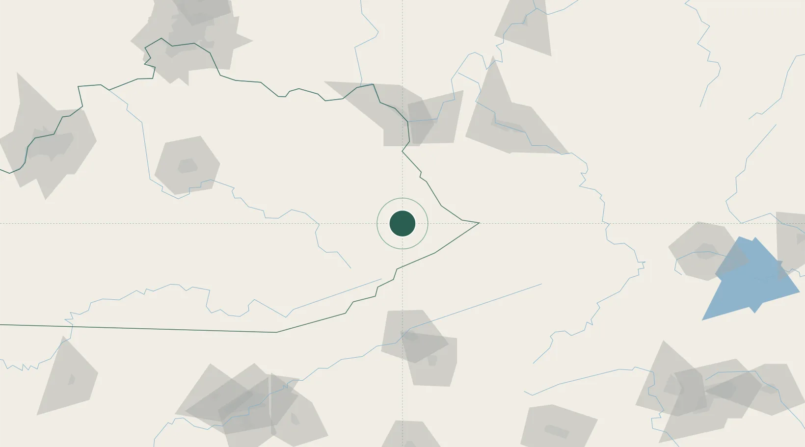
Hub Profile
Place type
Populated place
Region
Kentucky
Time zone
America/New_York
Elevation
205 m
Location
Nearby Logistics Neighbours
Cities
- 1Martin11 km
- 2Prestonsburg20 km
- 3Sidney27 km
- 4East Point28 km
- 5Hagerhill31 km
Ports
- 1Huron430 km
- 2Vermilion434 km
- 3Sandusky436 km
- 4Lorain439 km
- 5Port Clinton444 km
Airports
Trade Zones
- 1FTZ No. 204 Tri-Cities119 km
- 2FTZ No. 229 Charleston121 km
- 3FTZ No. 238 Dublin178 km
- 4FTZ No. 148 Knoxville223 km
- 5FTZ No. 054 Clinton County234 km
DatabookThe Record of Consolidated Knowledge
United States beyond logistics?