Transport Functions
Port
Rail
Road
Hub Profile
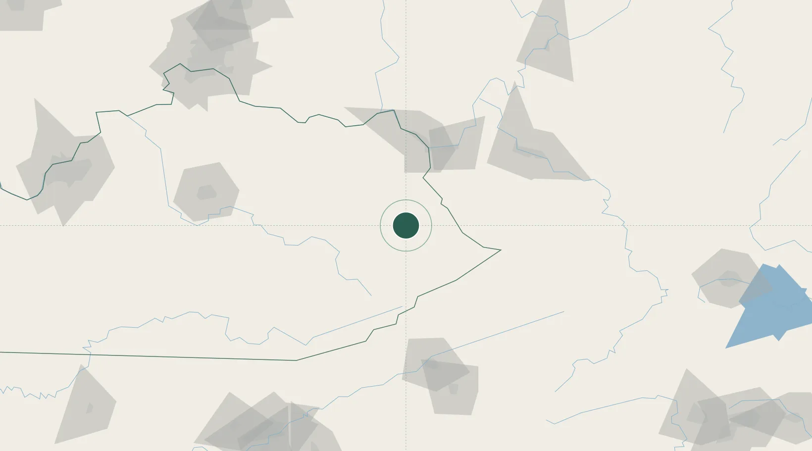
Place type
Populated place
Region
Kentucky
Time zone
America/New_York
Elevation
194 m
Location
Nearby Logistics Neighbours
Cities
- 1Hagerhill4 km
- 2Prestonsburg9 km
- 3Martin21 km
- 4Salyersville25 km
- 5Harold28 km
Ports
- 1Huron406 km
- 2Vermilion411 km
- 3Sandusky412 km
- 4Lorain417 km
- 5Port Clinton419 km
Airports
Trade Zones
- 1FTZ No. 229 Charleston115 km
- 2FTZ No. 204 Tri-Cities145 km
- 3FTZ No. 238 Dublin198 km
- 4FTZ No. 054 Clinton County206 km
- 5FTZ No. 046 CIncinnati213 km
DatabookThe Record of Consolidated Knowledge
United States beyond logistics?