Transport Functions
Port
Hub Profile
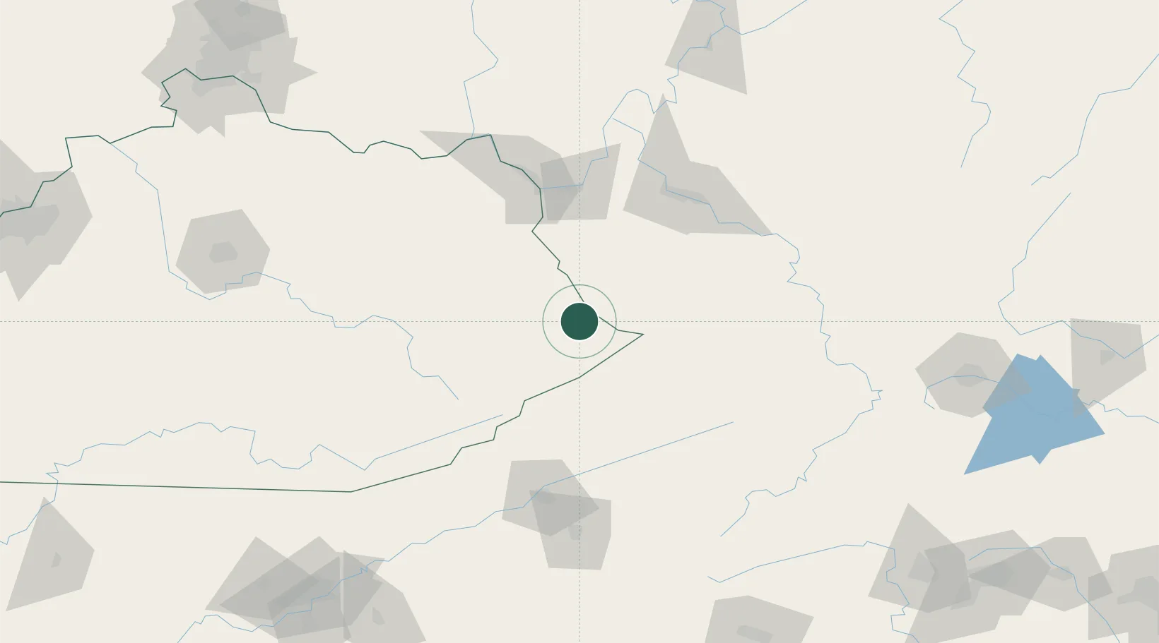
Place type
Populated place
Region
Kentucky
Time zone
America/New_York
Elevation
228 m
Location
Nearby Logistics Neighbours
Airports
- 1Julian Carroll Airport85 km
- 2Tri-State Airport / Milton J. Ferguson Field85 km
- 3Mercer County Airport107 km
- 4Yeager Airport107 km
- 5Raleigh County Memorial Airport110 km
Trade Zones
- 1FTZ No. 229 Charleston98 km
- 2FTZ No. 204 Tri-Cities126 km
- 3FTZ No. 238 Dublin157 km
- 4FTZ No. 054 Clinton County237 km
- 5FTZ No. 148 Knoxville246 km
DatabookThe Record of Consolidated Knowledge
United States beyond logistics?