Transport Functions
Rail
Road
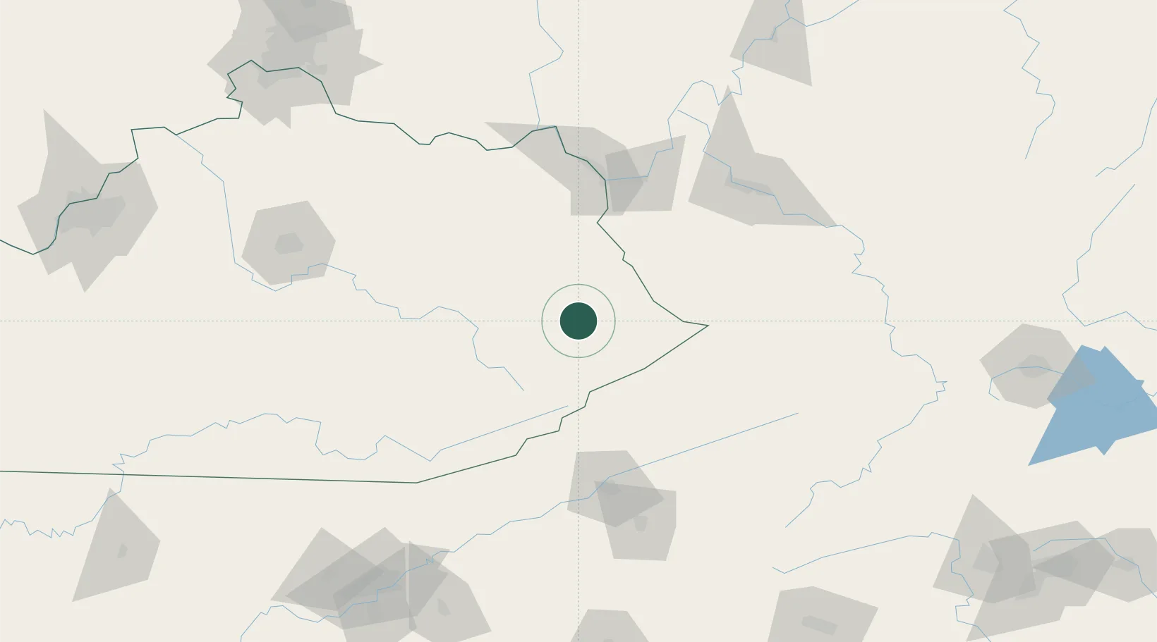
Hub Profile
Place type
Populated place
Region
Kentucky
Population
602
Time zone
America/New_York
Elevation
201 m
Location
Nearby Logistics Neighbours
Cities
- 1Harold11 km
- 2Prestonsburg12 km
- 3East Point21 km
- 4Hagerhill24 km
- 5Salyersville35 km
Ports
- 1Huron427 km
- 2Vermilion431 km
- 3Sandusky432 km
- 4Lorain436 km
- 5Port Clinton440 km
Airports
Trade Zones
- 1FTZ No. 204 Tri-Cities124 km
- 2FTZ No. 229 Charleston125 km
- 3FTZ No. 238 Dublin189 km
- 4FTZ No. 148 Knoxville219 km
- 5FTZ No. 054 Clinton County226 km
DatabookThe Record of Consolidated Knowledge
United States beyond logistics?