UN/LOCODE hub · United States
USPB3
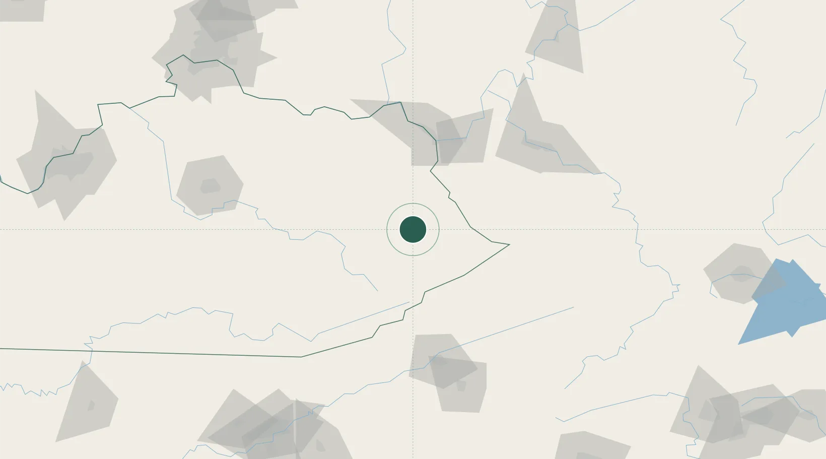
Prestonsburg
37.6667°, -82.7833°
3,347
Population
2
Transport functions
Transport Functions
Rail
Road
Hub Profile
Place type
Provincial seat
Region
Kentucky
Population
3,347
Time zone
America/New_York
Elevation
193 m
Location
Nearby Logistics Neighbours
Cities
- 1East Point9 km
- 2Martin12 km
- 3Hagerhill13 km
- 4Harold20 km
- 5Salyersville27 km
Ports
- 1Huron416 km
- 2Vermilion420 km
- 3Sandusky421 km
- 4Lorain426 km
- 5Port Clinton428 km
Airports
Trade Zones
- 1FTZ No. 229 Charleston120 km
- 2FTZ No. 204 Tri-Cities136 km
- 3FTZ No. 238 Dublin195 km
- 4FTZ No. 054 Clinton County215 km
- 5FTZ No. 046 CIncinnati219 km
DatabookThe Record of Consolidated Knowledge
United States beyond logistics?