Transport Functions
Rail
Road
Hub Profile
Place type
Populated place
Region
Tennessee
Population
2,262
Time zone
America/New_York
Elevation
298 m
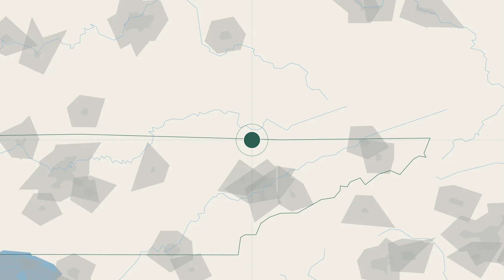
Location
Nearby Logistics Neighbours
Cities
- 1Newcomb5 km
- 2Speedwell28 km
- 3Jacksboro30 km
- 4Barbourville38 km
- 5Huntsville39 km
Ports
- 1Huron553 km
- 2Sandusky555 km
- 3Port Clinton558 km
- 4Beaufort560 km
- 5Vermilion560 km
Airports
Trade Zones
- 1FTZ No. 148 Knoxville67 km
- 2FTZ No. 204 Tri-Cities154 km
- 3FTZ No. 134 Chattanooga200 km
- 4FTZ No. 029 Louisville238 km
- 5FTZ No. 038 Spartanburg County254 km
DatabookThe Record of Consolidated Knowledge
United States beyond logistics?