Transport Functions
Rail
Road
Hub Profile
Place type
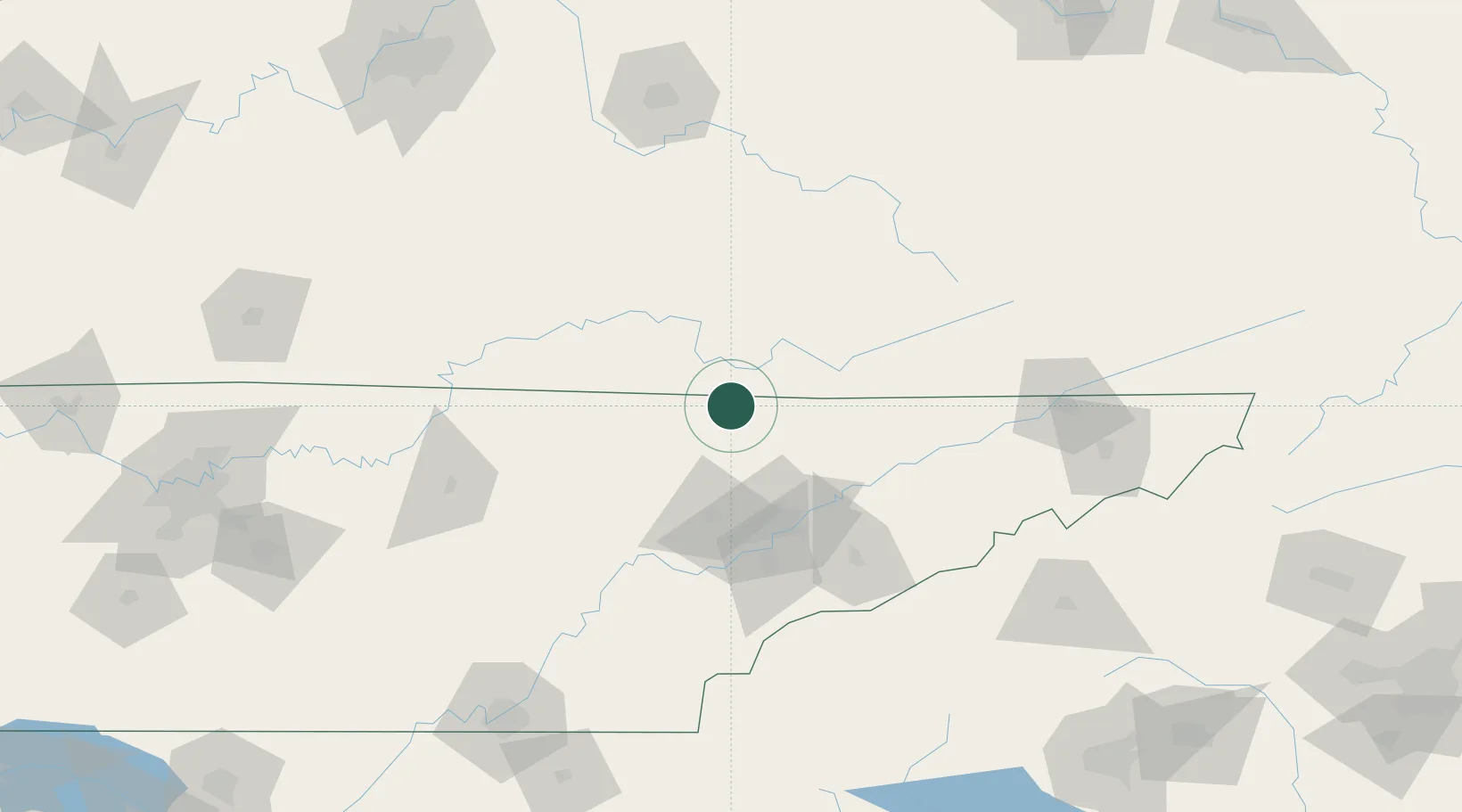
Populated place
Region
Tennessee
Time zone
America/New_York
Elevation
297 m
Location
Nearby Logistics Neighbours
Cities
- 1Jellico5 km
- 2Jacksboro26 km
- 3Speedwell29 km
- 4Huntsville34 km
- 5Helenwood37 km
Ports
- 1Huron557 km
- 2Beaufort559 km
- 3Sandusky559 km
- 4Port Clinton562 km
- 5Port Royal564 km
Airports
Trade Zones
- 1FTZ No. 148 Knoxville63 km
- 2FTZ No. 204 Tri-Cities157 km
- 3FTZ No. 134 Chattanooga195 km
- 4FTZ No. 029 Louisville239 km
- 5FTZ No. 038 Spartanburg County253 km
DatabookThe Record of Consolidated Knowledge
United States beyond logistics?