Transport Functions
Port
Hub Profile
Place type
Provincial seat
Region
Balıkesir
Population
22,678
Time zone
Europe/Istanbul
Elevation
28 m
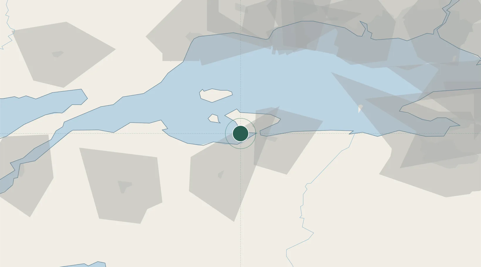
Location
Nearby Logistics Neighbours
Cities
- 1Bandirma16 km
- 2Marmara Adasi28 km
- 3Saraylar33 km
- 4Karabiga41 km
- 5Icdas Jetty42 km
Airports
- 1Bandırma Airport18 km
- 2Tekirdağ Çorlu Airport85 km
- 3Balıkesir Airport86 km
- 4Keşan Air Base109 km
- 5İstanbul Atatürk Airport110 km
DatabookThe Record of Consolidated Knowledge
Türkiye beyond logistics?