Transport Functions
Multimodal
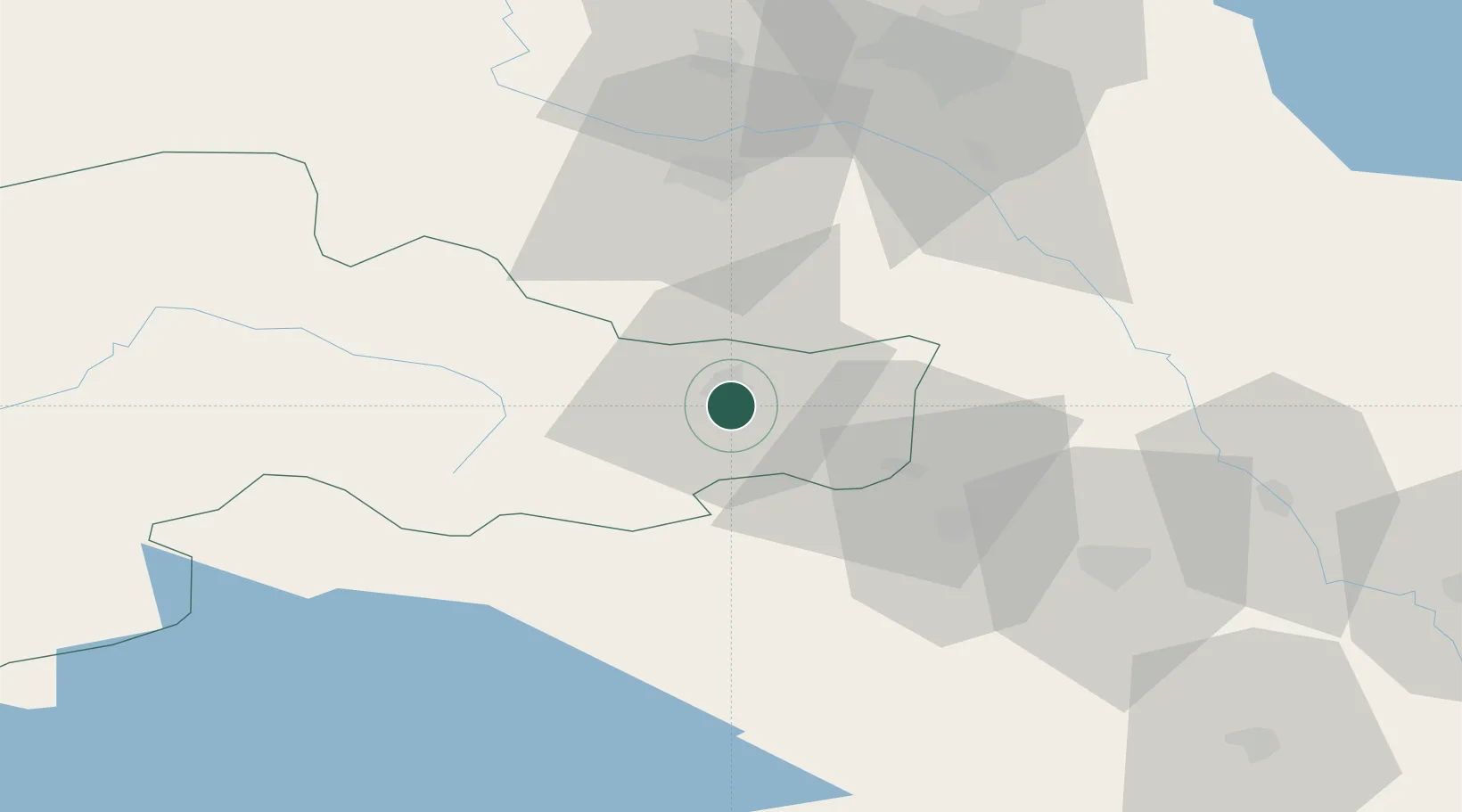
Hub Profile
Place type
Provincial seat
Region
Ağrı
Population
70,171
Time zone
Europe/Istanbul
Elevation
1,592 m
Location
Nearby Logistics Neighbours
Ports
- 1Hopa309 km
- 2Batumi312 km
- 3Rize347 km
- 4Supsa Marine Terminal348 km
- 5Trabzon402 km
Airports
- 1Iğdır Airport52 km
- 2Erebuni Airport73 km
- 3Zvartnots International Airport74 km
- 4Maku National Airport82 km
- 5Ağrı Airport92 km
Trade Zones
DatabookThe Record of Consolidated Knowledge
Türkiye beyond logistics?