Seaport · Georgia
BatumiGEBUS
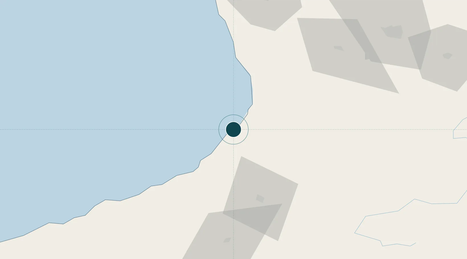
41.6500°, 41.6500°
9.0 m
Channel depth
1
Container terminals
27.5
Port liner connectivity
Channel & Berth Profile
Pilotage, Tugs & Services
Pilotage compulsoryYES
Pilotage availableYES
Pilotage advisableYES
Tug assistanceYES
Potable waterYES
MedicalYES
Garbage disposalYES
Facilities & Capabilities
ContainerYES
Ro-RoYES
Liquid bulkYES
Dry bulkYES
Oil terminal—
Break bulkYES
Dry dock—
RepairsNO
BunkeringYES
Rail linkYES
Dangerous cargo—
ISPS securityYES
Harbour Specifications
Harbour size
Small
Harbour type
Coastal (Breakwater)
Shelter
Good
Water body
Black Sea; North Atlantic Ocean
Tidal range
0.5 m
Overhead limit
No
Pilotage
Yes
Liner Connectivity
27.5
PLSCI
Port Liner Shipping Connectivity Index for Batumi, as published by UNCTAD for the latest available quarter. Higher values indicate stronger scheduled liner-shipping integration.
Shown relative to the highest per-port PLSCI in the dataset (1,657.9).
Location
Container Terminals · 1
BATUMI INTERNATIONAL CONTAINER TERMINAL (BICT)
BICT BATUMI INTERNATIONAL CONTAINER TERMINAL LLC (BICT)
Nearby Logistics Neighbours
Ports
- 1Hopa33 km
- 2Supsa Marine Terminal50 km
- 3Rize115 km
- 4Sokhumi158 km
- 5Trabzon172 km
Cities
- 1Hopa34 km
- 2Sup'sa44 km
- 3Poti57 km
- 4Kulevi69 km
- 5Tsalenjikha77 km
Airports
Trade Zones
DatabookThe Record of Consolidated Knowledge
Georgia beyond logistics?