Medium airport · Türkiye
Iğdır AirportLTCT
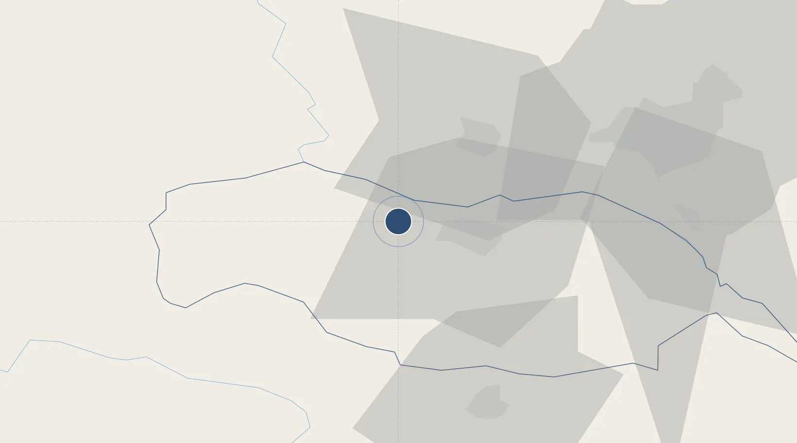
39.9766°, 43.8766°
9,843 ft
Longest runway
1
Runways
3,101 ft
Elevation
Runway & Layout

Radio Frequencies
TWR
121.3 MHz
Igdir Tower
GND
121.8 MHz
Igdir Ground
APP/DEP
119.6 MHz
Igdir Approach/Departure
APP/DEP
126 MHz
Igdir Approach/Departure
APP/DEP
126 MHz
Igdir Approach/Departure
Runways · 1
| Runway | Dimensions | Surface | True heading | Lit |
|---|---|---|---|---|
| 12/30 | 9,843 × 148ft | Concrete | 120° | ✓ |
Airport Specifications
IATA code
IGD
ICAO code
LTCT
Airport class
Medium airport
Scheduled service
Yes
Runway surface
Concrete
Served city
Iğdır
Location
Nearby Logistics Neighbours
Airports
- 1Zvartnots International Airport48 km
- 2Erebuni Airport53 km
- 3Ağrı Airport81 km
- 4Shirak International Airport86 km
- 5Kars Airport92 km
Cities
- 1Armavir23 km
- 2Metsamor36 km
- 3Aragatsotn39 km
- 4Masis52 km
- 5Dogubayazit52 km
Ports
- 1Hopa263 km
- 2Batumi264 km
- 3Supsa Marine Terminal298 km
- 4Rize309 km
- 5Trabzon366 km
Trade Zones
DatabookThe Record of Consolidated Knowledge
Türkiye beyond logistics?