Specialized Zone · Armenia

Alliance Free Zone Active
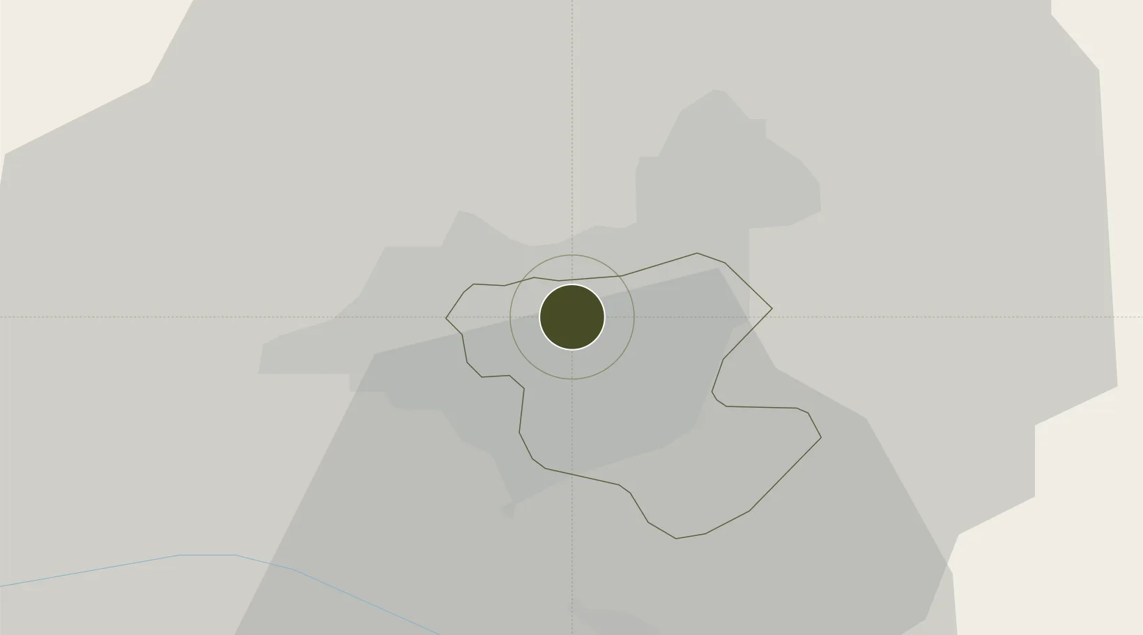
40.1898°, 44.4954°
9 ha
Zone area
289.0 km
Nearest port
8.0 km
Nearest airport

Gateway access

Nearest neighbours — logibook spatial index (haversine) over the source coordinates

Zone profile

Zone type
Specialized Zone
Open Zone Map
Specialization
Tech
Open Zone Map
Region
Erevan
Open Zone Map
Status
Active
Open Zone Map
Management
Public-Private Partnership
Open Zone Map
Operator
Sitronics Armenia CJSC
Open Zone Map
Legal framework
Law Of The Republic of Armenia On Free Economic Zones: Adopted on May 25, 2011
Open Zone Map

Location

Location of ozm-57
Natural Earth 10m (public domain) · Erevan · ozm-57 · 40.19, 44.50GoogleOSMYandex

Nearby Logistics Neighbours

Ports
  1. 1Batumi289 km
  2. 2Hopa294 km
  3. 3Supsa Marine Terminal315 km
  4. 4Rize350 km
  5. 5Trabzon410 km
Nearest neighbours — logibook spatial index (haversine) over the source coordinates
Airports
  1. 1Erebuni Airport8 km
  2. 2Zvartnots International Airport9 km
  3. 3Iğdır Airport58 km
  4. 4Shirak International Airport82 km
  5. 5Maku National Airport117 km
Nearest neighbours — logibook spatial index (haversine) over the source coordinates
Cities
  1. 1Yerevan7 km
  2. 2Masis19 km
  3. 3Metsamor23 km
  4. 4Abovyan26 km
  5. 5Aragatsotn29 km
Nearest neighbours — logibook spatial index (haversine) over the source coordinates
Trade Zones
  1. 1Jrvezh Engineering City7 km
  2. 2Meridian Free Economic Zone10 km
  3. 3Ecos Free Economic Zone45 km
  4. 4Gyumri Eurasian Logistic Park84 km
  5. 5Maku Mako Trade-Industrial Free Zone92 km
Nearest neighbours — logibook spatial index (haversine) over the source coordinates
DatabookThe Record of Consolidated Knowledge
Armenia beyond logistics?
Browse databook

All Sources

Trade ZonesOpen Zone Map
CC BY
Portsthe NGA World Port Index
Public domain (US gov)
AirportsOurAirports
Public domain
LocationsUN/LOCODE
UN/LOCODE — free
← Armenia trade zones