Medium airport · Iran

Maku National AirportOITU
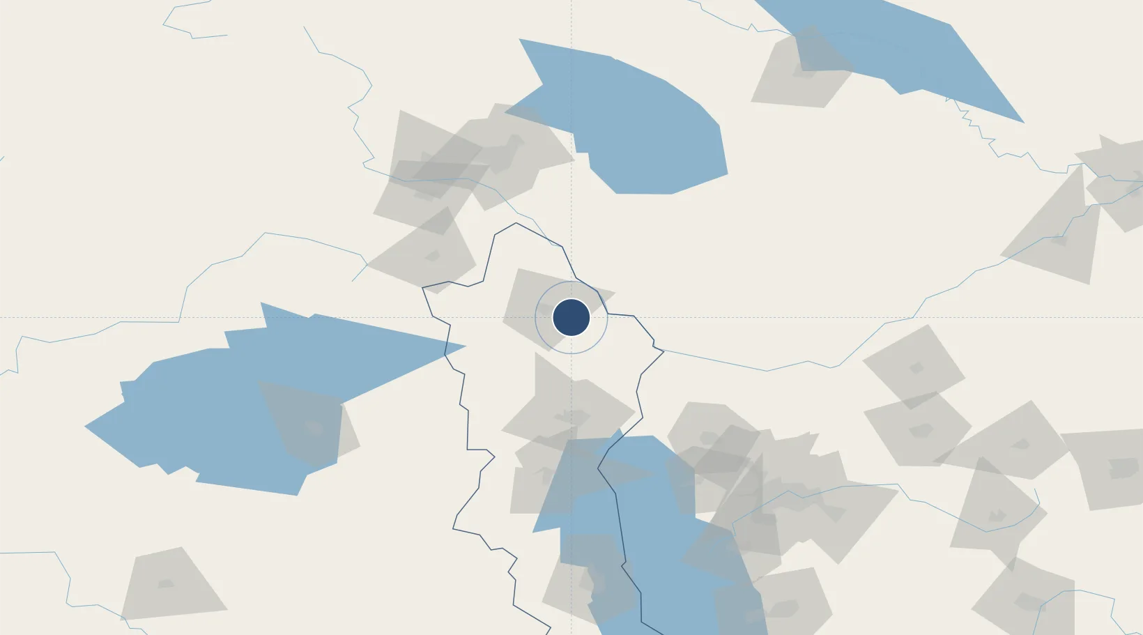
39.1913°, 44.9285°
10,827 ft
Longest runway
1
Runways
3,136 ft
Elevation

Runway & Layout

Maku National Airport runway & taxiway layout
Runway & taxiway layout — OpenStreetMap (ODbL) / OurAirports

Runways · 1

RunwayDimensions SurfaceTrue headingLit
13/31 10,827 × 148ft Asphalt
OurAirports

Airport Specifications

IATA code
IMQ
OurAirports
ICAO code
OITU
OurAirports
Airport class
Medium airport
OurAirports
Scheduled service
No
OurAirports
Runway surface
Asphalt
OurAirports
Served city
Showt
OurAirports

Location

Location of OITU
Natural Earth 10m (public domain) · West Azarbaijan · OITU · 39.19, 44.93GoogleOSMYandex

Nearby Logistics Neighbours

Airports
  1. 1Nakhchivan International Airport46 km
  2. 2Erebuni Airport111 km
  3. 3Zvartnots International Airport116 km
  4. 4Iğdır Airport126 km
  5. 5Van Ferit Melen Airport160 km
Nearest neighbours — logibook spatial index (haversine) over the source coordinates
Cities
  1. 1Naxcivan26 km
  2. 2Jolfa71 km
  3. 3Ararat74 km
  4. 4Dogubayazit82 km
  5. 5Kapiköy94 km
Nearest neighbours — logibook spatial index (haversine) over the source coordinates
Ports
  1. 1Hopa388 km
  2. 2Batumi390 km
  3. 3Supsa Marine Terminal422 km
  4. 4Rize429 km
  5. 5Trabzon484 km
Nearest neighbours — logibook spatial index (haversine) over the source coordinates
Trade Zones
  1. 1Maku Mako Trade-Industrial Free Zone51 km
  2. 2Aras Trade Industrial Free Zone67 km
  3. 3Salmas Special Economic Zone111 km
  4. 4Meridian Free Economic Zone116 km
  5. 5Jrvezh Engineering City116 km
Nearest neighbours — logibook spatial index (haversine) over the source coordinates
DatabookThe Record of Consolidated Knowledge
Iran beyond logistics?
Browse databook

All Sources

AirportsOurAirports
Public domain
Portsthe NGA World Port Index
Public domain (US gov)
LocationsUN/LOCODE
UN/LOCODE — free
Trade Zonesthe World Bank SEZ database
CC BY 4.0
Trade ZonesOpen Zone Map
CC BY
InfrastructureOpenStreetMap
ODbL 1.0
← Iran airports