Specialized Zone · Armenia

Meridian Free Economic Zone Active
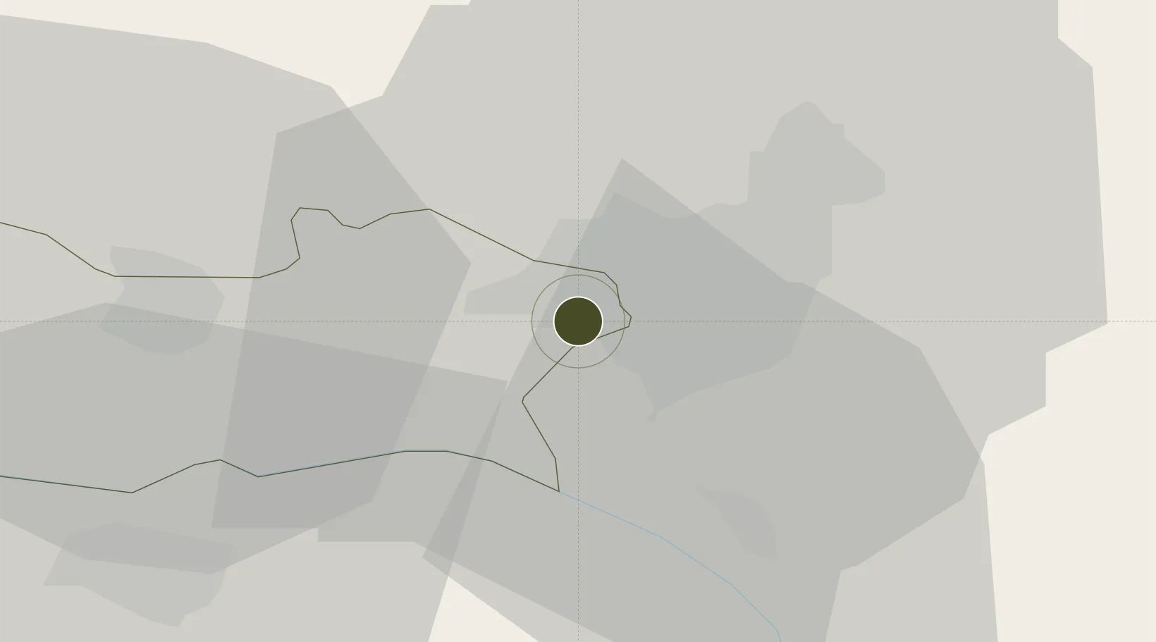
40.1492°, 44.3967°
10 ha
Zone area
284.8 km
Nearest port
0.1 km
Nearest airport

Gateway access

Nearest neighbours — logibook spatial index (haversine) over the source coordinates

Zone profile

Zone type
Specialized Zone
Open Zone Map
Specialization
Manufacturing
Open Zone Map
Region
Armavir
Open Zone Map
Status
Active
Open Zone Map
Management
Public-Private Partnership
Open Zone Map
Operator
Meridian Free Economic Zone CJSC
Open Zone Map
Legal framework
Law Of The Republic of Armenia On Free Economic Zones: Adopted on May 25, 2011
Open Zone Map

Location

Location of ozm-53
Natural Earth 10m (public domain) · Armavir · ozm-53 · 40.15, 44.40GoogleOSMYandex

Nearby Logistics Neighbours

Ports
  1. 1Batumi285 km
  2. 2Hopa289 km
  3. 3Supsa Marine Terminal312 km
  4. 4Rize343 km
  5. 5Trabzon403 km
Nearest neighbours — logibook spatial index (haversine) over the source coordinates
Airports
  1. 1Zvartnots International Airport0 km
  2. 2Erebuni Airport7 km
  3. 3Iğdır Airport48 km
  4. 4Shirak International Airport81 km
  5. 5Maku National Airport116 km
Nearest neighbours — logibook spatial index (haversine) over the source coordinates
Cities
  1. 1Yerevan6 km
  2. 2Metsamor13 km
  3. 3Masis17 km
  4. 4Aragatsotn23 km
  5. 5Armavir32 km
Nearest neighbours — logibook spatial index (haversine) over the source coordinates
Trade Zones
  1. 1Alliance Free Zone10 km
  2. 2Jrvezh Engineering City17 km
  3. 3Ecos Free Economic Zone53 km
  4. 4Gyumri Eurasian Logistic Park83 km
  5. 5Maku Mako Trade-Industrial Free Zone87 km
Nearest neighbours — logibook spatial index (haversine) over the source coordinates
DatabookThe Record of Consolidated Knowledge
Armenia beyond logistics?
Browse databook

All Sources

Trade ZonesOpen Zone Map
CC BY
Portsthe NGA World Port Index
Public domain (US gov)
AirportsOurAirports
Public domain
LocationsUN/LOCODE
UN/LOCODE — free
← Armenia trade zones