Transport Functions
Rail
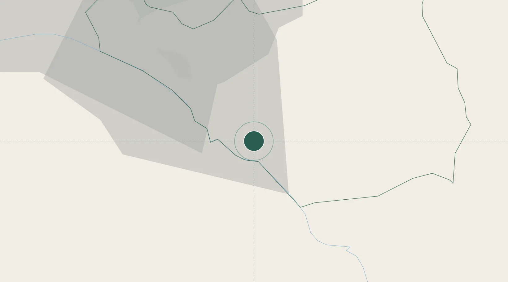
Hub Profile
Place type
Provincial seat
Region
Ararat
Population
16,986
Time zone
Asia/Yerevan
Elevation
844 m
Location
Nearby Logistics Neighbours
Cities
- 1Masis27 km
- 2Yerevan39 km
- 3Metsamor43 km
- 4Abovyan49 km
- 5Dogubayazit61 km
Ports
- 1Batumi326 km
- 2Hopa328 km
- 3Supsa Marine Terminal354 km
- 4Rize378 km
- 5Trabzon436 km
Airports
- 1Erebuni Airport37 km
- 2Zvartnots International Airport43 km
- 3Iğdır Airport71 km
- 4Maku National Airport74 km
- 5Nakhchivan International Airport98 km
Trade Zones
DatabookThe Record of Consolidated Knowledge
Armenia beyond logistics?