Transport Functions
Multimodal
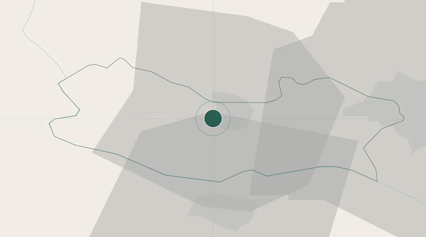
Hub Profile
Place type
Regional capital
Region
Armavir
Population
29,700
Time zone
Asia/Yerevan
Elevation
878 m
Location
Nearby Logistics Neighbours
Cities
- 1Aragatsotn17 km
- 2Metsamor25 km
- 3Yerevan38 km
- 4Masis42 km
- 5Abovyan66 km
Ports
- 1Batumi260 km
- 2Hopa262 km
- 3Supsa Marine Terminal290 km
- 4Rize313 km
- 5Trabzon372 km
Airports
- 1Iğdır Airport23 km
- 2Zvartnots International Airport32 km
- 3Erebuni Airport38 km
- 4Shirak International Airport68 km
- 5Kars Airport89 km
Trade Zones
- 1Meridian Free Economic Zone32 km
- 2Alliance Free Zone41 km
- 3Jrvezh Engineering City48 km
- 4Gyumri Eurasian Logistic Park69 km
- 5Ecos Free Economic Zone76 km
DatabookThe Record of Consolidated Knowledge
Armenia beyond logistics?