Specialized Zone · Armenia

Jrvezh Engineering City Under Development
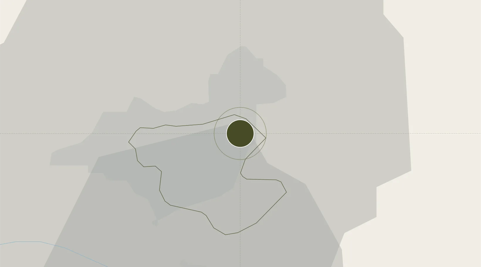
40.2015°, 44.5806°
3 ha
Zone area
294.2 km
Nearest port
13.2 km
Nearest airport

Gateway access

Nearest neighbours — logibook spatial index (haversine) over the source coordinates

Zone profile

Zone type
Specialized Zone
Open Zone Map
Specialization
Tech
Open Zone Map
Region
Erevan
Open Zone Map
Status
Under Development
Open Zone Map
Management
Public-Private Partnership
Open Zone Map
Operator
Enterprise Incubator Foundation / National Instruments Armenia
Open Zone Map
Legal framework
Law of the Republic of Armenia of December 26, 2000 No. ZR-119 on Scientific and Technical Activities
Open Zone Map

Location

Location of ozm-55
Natural Earth 10m (public domain) · Erevan · ozm-55 · 40.20, 44.58GoogleOSMYandex

Nearby Logistics Neighbours

Ports
  1. 1Batumi294 km
  2. 2Hopa300 km
  3. 3Supsa Marine Terminal319 km
  4. 4Rize356 km
  5. 5Trabzon416 km
Nearest neighbours — logibook spatial index (haversine) over the source coordinates
Airports
  1. 1Erebuni Airport13 km
  2. 2Zvartnots International Airport17 km
  3. 3Iğdır Airport65 km
  4. 4Shirak International Airport86 km
  5. 5Maku National Airport116 km
Nearest neighbours — logibook spatial index (haversine) over the source coordinates
Cities
  1. 1Yerevan13 km
  2. 2Abovyan19 km
  3. 3Masis22 km
  4. 4Metsamor29 km
  5. 5Aragatsotn36 km
Nearest neighbours — logibook spatial index (haversine) over the source coordinates
Trade Zones
  1. 1Alliance Free Zone7 km
  2. 2Meridian Free Economic Zone17 km
  3. 3Ecos Free Economic Zone41 km
  4. 4Gyumri Eurasian Logistic Park88 km
  5. 5Maku Mako Trade-Industrial Free Zone94 km
Nearest neighbours — logibook spatial index (haversine) over the source coordinates
DatabookThe Record of Consolidated Knowledge
Armenia beyond logistics?
Browse databook

All Sources

Trade ZonesOpen Zone Map
CC BY
Portsthe NGA World Port Index
Public domain (US gov)
AirportsOurAirports
Public domain
LocationsUN/LOCODE
UN/LOCODE — free
← Armenia trade zones