Transport Functions
Multimodal
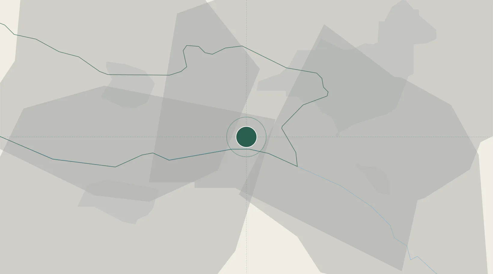
Hub Profile
Place type
Populated place
Region
Armavir
Population
1,425
Time zone
Asia/Yerevan
Elevation
842 m
Location
Nearby Logistics Neighbours
Cities
- 1Yerevan17 km
- 2Masis18 km
- 3Aragatsotn23 km
- 4Armavir25 km
- 5Ararat43 km
Ports
- 1Batumi283 km
- 2Hopa286 km
- 3Supsa Marine Terminal312 km
- 4Rize337 km
- 5Trabzon396 km
Airports
- 1Zvartnots International Airport13 km
- 2Erebuni Airport17 km
- 3Iğdır Airport36 km
- 4Shirak International Airport84 km
- 5Maku National Airport112 km
Trade Zones
DatabookThe Record of Consolidated Knowledge
Armenia beyond logistics?