Large airport · Armenia

Zvartnots International AirportUDYZ
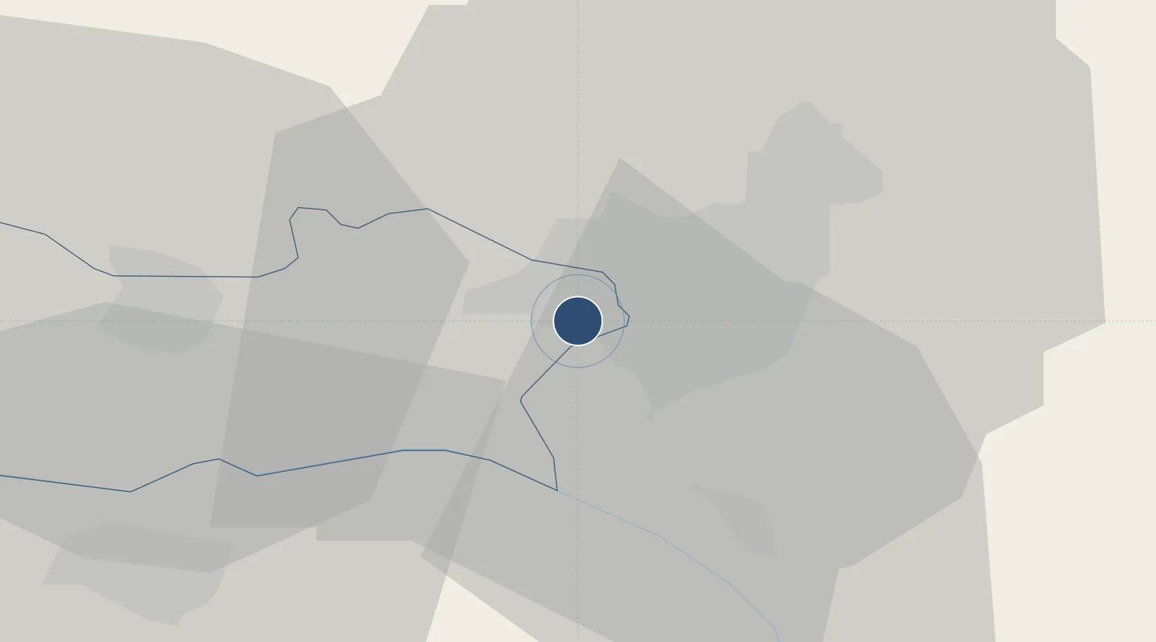
40.1489°, 44.3979°
12,631 ft
Longest runway
1
Runways
2,838 ft
Elevation

Runway & Layout

Zvartnots International Airport runway & taxiway layout
Runway & taxiway layout — OpenStreetMap (ODbL) / OurAirports

Radio Frequencies

ATIS
119.5 MHz
TWR
128 MHz
YEREVAN TWR
GND
119 MHz
YEREVAN GND
APP
126 MHz
YEREVAN APP
OurAirports

Runways · 1

RunwayDimensions SurfaceTrue headingLit
08/26 12,631 × 184ft Asphalt 090°
OurAirports

Airport Specifications

IATA code
EVN
OurAirports
ICAO code
UDYZ
OurAirports
Airport class
Large airport
OurAirports
Scheduled service
Yes
OurAirports
Runway surface
Asphalt
OurAirports
Served city
Yerevan
OurAirports

Location

Location of UDYZ
Natural Earth 10m (public domain) · Armavir · UDYZ · 40.15, 44.40GoogleOSMYandex

Nearby Logistics Neighbours

Airports
  1. 1Erebuni Airport6 km
  2. 2Iğdır Airport48 km
  3. 3Shirak International Airport81 km
  4. 4Maku National Airport116 km
  5. 5Kars Airport118 km
Nearest neighbours — logibook spatial index (haversine) over the source coordinates
Cities
  1. 1Yerevan6 km
  2. 2Metsamor13 km
  3. 3Masis16 km
  4. 4Aragatsotn23 km
  5. 5Armavir32 km
Nearest neighbours — logibook spatial index (haversine) over the source coordinates
Ports
  1. 1Batumi285 km
  2. 2Hopa289 km
  3. 3Supsa Marine Terminal312 km
  4. 4Rize343 km
  5. 5Trabzon403 km
Nearest neighbours — logibook spatial index (haversine) over the source coordinates
Trade Zones
  1. 1Meridian Free Economic Zone0 km
  2. 2Alliance Free Zone9 km
  3. 3Jrvezh Engineering City17 km
  4. 4Ecos Free Economic Zone53 km
  5. 5Gyumri Eurasian Logistic Park83 km
Nearest neighbours — logibook spatial index (haversine) over the source coordinates
DatabookThe Record of Consolidated Knowledge
Armenia beyond logistics?
Browse databook

All Sources

AirportsOurAirports
Public domain
Portsthe NGA World Port Index
Public domain (US gov)
LocationsUN/LOCODE
UN/LOCODE — free
Trade Zonesthe World Bank SEZ database
CC BY 4.0
Trade ZonesOpen Zone Map
CC BY
InfrastructureOpenStreetMap
ODbL 1.0
← Armenia airports