Transport Functions
Rail
Road
Multimodal
Hub Profile
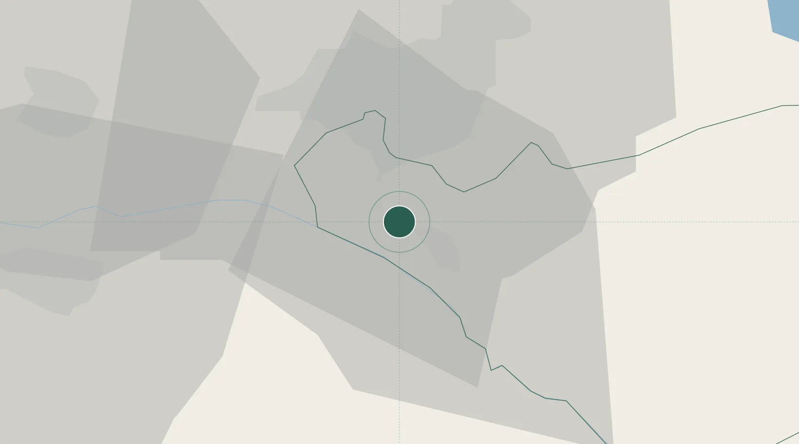
Place type
Populated place
Region
Ararat
Population
1,583
Time zone
Asia/Yerevan
Elevation
844 m
Location
Nearby Logistics Neighbours
Cities
- 1Yerevan13 km
- 2Metsamor18 km
- 3Ararat27 km
- 4Aragatsotn37 km
- 5Abovyan38 km
Ports
- 1Batumi300 km
- 2Hopa303 km
- 3Supsa Marine Terminal328 km
- 4Rize355 km
- 5Trabzon414 km
Airports
- 1Erebuni Airport12 km
- 2Zvartnots International Airport16 km
- 3Iğdır Airport52 km
- 4Shirak International Airport97 km
- 5Maku National Airport99 km
Trade Zones
DatabookThe Record of Consolidated Knowledge
Armenia beyond logistics?