Medium airport · Armenia
Erebuni AirportUDYE
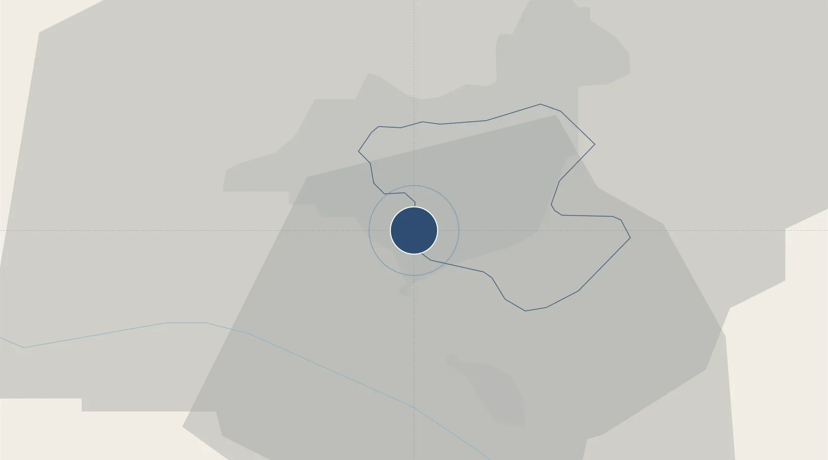
40.1221°, 44.4650°
9,134 ft
Longest runway
1
Runways
2,948 ft
Elevation
Runway & Layout

Radio Frequencies
TWR
119.4 MHz
Runways · 1
| Runway | Dimensions | Surface | True heading | Lit |
|---|---|---|---|---|
| 03/21 | 9,134 × 132ft | Asphalt | 033° | — |
Airport Specifications
ICAO code
UDYE
Airport class
Medium airport
Scheduled service
No
Runway surface
Asphalt
Served city
Yerevan
Location
Nearby Logistics Neighbours
Airports
- 1Zvartnots International Airport6 km
- 2Iğdır Airport53 km
- 3Shirak International Airport87 km
- 4Maku National Airport111 km
- 5Kars Airport124 km
Cities
- 1Yerevan2 km
- 2Masis12 km
- 3Metsamor17 km
- 4Aragatsotn29 km
- 5Abovyan32 km
Ports
- 1Batumi291 km
- 2Hopa296 km
- 3Supsa Marine Terminal318 km
- 4Rize350 km
- 5Trabzon409 km
Trade Zones
DatabookThe Record of Consolidated Knowledge
Armenia beyond logistics?