Medium airport · Türkiye
Ağrı AirportLTCO
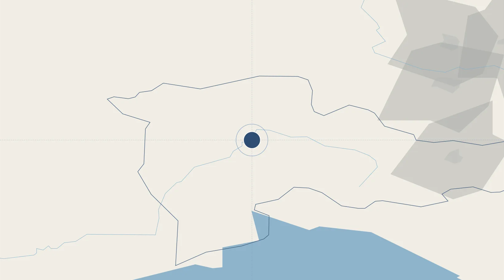
39.6556°, 43.0257°
9,843 ft
Longest runway
1
Runways
5,462 ft
Elevation
Runway & Layout

Radio Frequencies
TWR
118.475 MHz
Navaids
ARI VOR-DME Agri 116.70 MHz
ARI NDB Agri 289 kHz
Runways · 1
| Runway | Dimensions | Surface | True heading | Lit |
|---|---|---|---|---|
| 16/34 | 9,843 × 148ft | Asphalt | 165° | ✓ |
Airport Specifications
IATA code
AJI
ICAO code
LTCO
Airport class
Medium airport
Scheduled service
Yes
Runway surface
Asphalt
Served city
Ağrı
Location
Nearby Logistics Neighbours
Airports
- 1Iğdır Airport81 km
- 2Kars Airport101 km
- 3Zvartnots International Airport129 km
- 4Erebuni Airport133 km
- 5Van Ferit Melen Airport135 km
Cities
- 1Ercis76 km
- 2Cihangir90 km
- 3Dogubayazit92 km
- 4Armavir101 km
- 5Demirkapi116 km
Ports
- 1Hopa239 km
- 2Batumi250 km
- 3Rize264 km
- 4Supsa Marine Terminal293 km
- 5Trabzon315 km
Trade Zones
- 1Maku Mako Trade-Industrial Free Zone121 km
- 2Meridian Free Economic Zone129 km
- 3Alliance Free Zone139 km
- 4Gyumri Eurasian Logistic Park141 km
- 5Jrvezh Engineering City146 km
DatabookThe Record of Consolidated Knowledge
Türkiye beyond logistics?