Specialized Zone · Armenia

Ecos Free Economic Zone Active
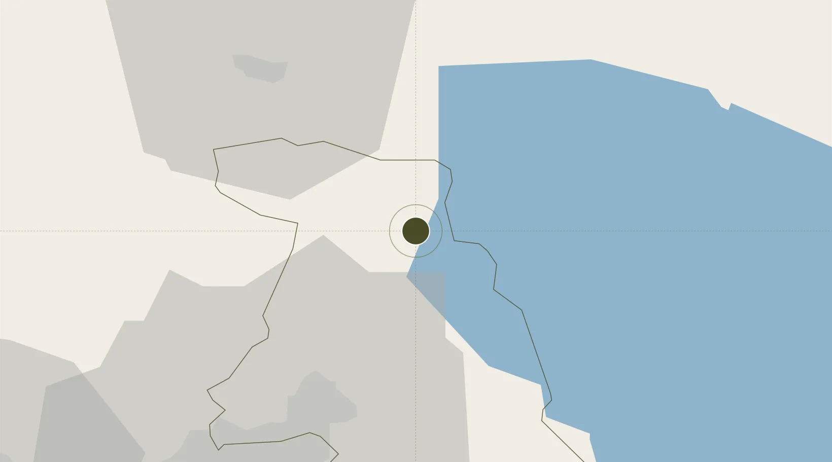
40.5515°, 44.7416°
4 ha
Zone area
286.4 km
Nearest port
53.2 km
Nearest airport

Gateway access

Nearest neighbours — logibook spatial index (haversine) over the source coordinates

Zone profile

Zone type
Specialized Zone
Open Zone Map
Specialization
Tech
Open Zone Map
Region
Kotayk
Open Zone Map
Status
Active
Open Zone Map
Management
Public-Private Partnership
Open Zone Map
Operator
ECOS CJSC
Open Zone Map
Legal framework
Law Of The Republic of Armenia On Free Economic Zones: Adopted on May 25, 2011
Open Zone Map

Location

Location of ozm-56
Natural Earth 10m (public domain) · Kotayk · ozm-56 · 40.55, 44.74GoogleOSMYandex

Nearby Logistics Neighbours

Ports
  1. 1Batumi286 km
  2. 2Hopa297 km
  3. 3Supsa Marine Terminal306 km
  4. 4Rize360 km
  5. 5Sokhumi413 km
Nearest neighbours — logibook spatial index (haversine) over the source coordinates
Airports
  1. 1Erebuni Airport53 km
  2. 2Zvartnots International Airport53 km
  3. 3Shirak International Airport78 km
  4. 4Iğdır Airport97 km
  5. 5Tbilisi Marneuli Air Base101 km
Nearest neighbours — logibook spatial index (haversine) over the source coordinates
Cities
  1. 1Hrazdan3 km
  2. 2Dilijan23 km
  3. 3Abovyan32 km
  4. 4Yerevan52 km
  5. 5Aragatsotn59 km
Nearest neighbours — logibook spatial index (haversine) over the source coordinates
Trade Zones
  1. 1Jrvezh Engineering City41 km
  2. 2Alliance Free Zone45 km
  3. 3Meridian Free Economic Zone53 km
  4. 4Gyumri Eurasian Logistic Park80 km
  5. 5Maku Mako Trade-Industrial Free Zone135 km
Nearest neighbours — logibook spatial index (haversine) over the source coordinates
DatabookThe Record of Consolidated Knowledge
Armenia beyond logistics?
Browse databook

All Sources

Trade ZonesOpen Zone Map
CC BY
Portsthe NGA World Port Index
Public domain (US gov)
AirportsOurAirports
Public domain
LocationsUN/LOCODE
UN/LOCODE — free
← Armenia trade zones