Diversified Zone · Uzbekistan

Navoi Free Industrial Economic Zone Active
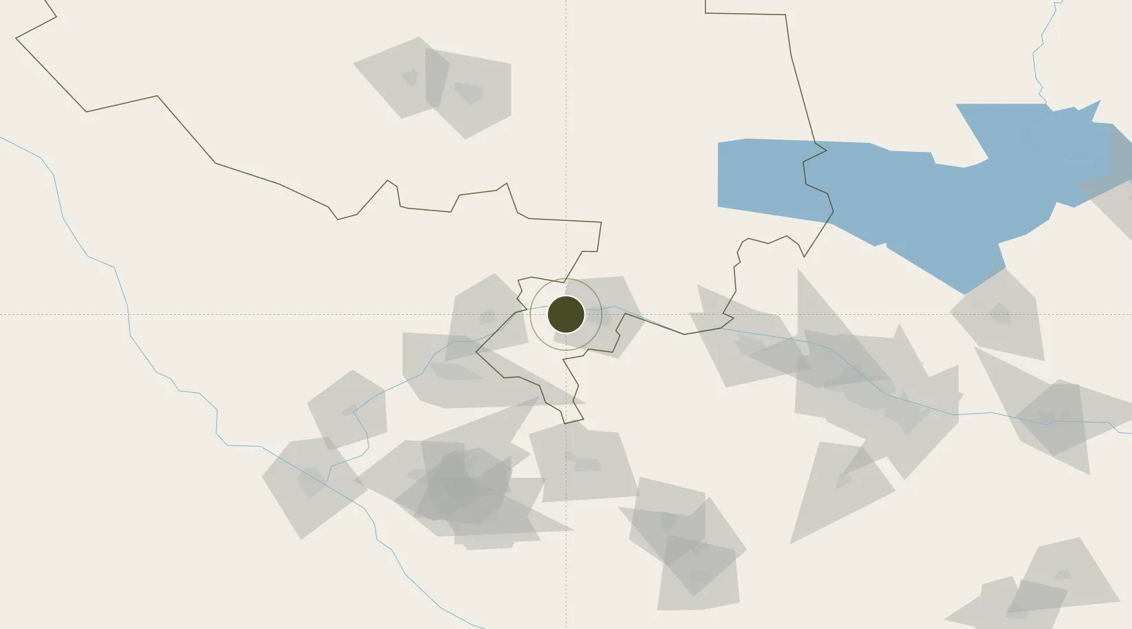
40.1398°, 65.1474°
645 ha
Zone area
1,656.5 km
Nearest port
3.3 km
Nearest airport

Gateway access

Nearest neighbours — logibook spatial index (haversine) over the source coordinates

Zone profile

Zone type
Diversified Zone
Open Zone Map
Region
Navoi
Open Zone Map
Status
Active
Open Zone Map
Management
Public
Open Zone Map
Operator
Directorate of FEZ "Navoi"
Open Zone Map
Legal framework
Decree of the President of the Republic of Uzbekistan No.UP-4059 DATED 02.12.2008
Open Zone Map

Location

Location of ozm-5005
Natural Earth 10m (public domain) · Navoi · ozm-5005 · 40.14, 65.15GoogleOSMYandex

Nearby Logistics Neighbours

Ports
  1. 1Jazireh-Ye Hormoz1657 km
  2. 2Bandar Abbas1663 km
  3. 3Bandar-E Shahid Rejaie1674 km
  4. 4Khawr Khasab1754 km
  5. 5Bushehr1800 km
Nearest neighbours — logibook spatial index (haversine) over the source coordinates
Airports
  1. 1Navoi International Airport3 km
  2. 2Bukhara International Airport70 km
  3. 3Karshi Airport158 km
  4. 4Samarkand International Airport164 km
  5. 5Sugraly Airport181 km
Nearest neighbours — logibook spatial index (haversine) over the source coordinates
Cities
  1. 1Nawoiy19 km
  2. 2Farap171 km
  3. 3Karshi176 km
  4. 4Zarafshon178 km
  5. 5Turkmenabat178 km
Nearest neighbours — logibook spatial index (haversine) over the source coordinates
Trade Zones
  1. 1Gijduvon Free Economic Zone44 km
  2. 2Bukhoro-agro Free Economic Zone74 km
  3. 3Chirakchi Free Economic Zone172 km
  4. 4Urgut Free Economic Zone196 km
  5. 5Jizzakh Special Industrial Zone234 km
Nearest neighbours — logibook spatial index (haversine) over the source coordinates
DatabookThe Record of Consolidated Knowledge
Uzbekistan beyond logistics?
Browse databook

All Sources

Trade ZonesOpen Zone Map
CC BY
Portsthe NGA World Port Index
Public domain (US gov)
AirportsOurAirports
Public domain
LocationsUN/LOCODE
UN/LOCODE — free
← Uzbekistan trade zones