UN/LOCODE hub · Uzbekistan
UZNWY

Nawoiy

40.1015°, 65.3648°
2
Transport functions

Transport Functions

Rail
Road
UN/LOCODE

Hub Profile

Logistics facilities
2
UN/LOCODE

Location

Location of UZNWY
Natural Earth 10m (public domain) · Navoi · UZNWY · 40.10, 65.36GoogleOSMYandex

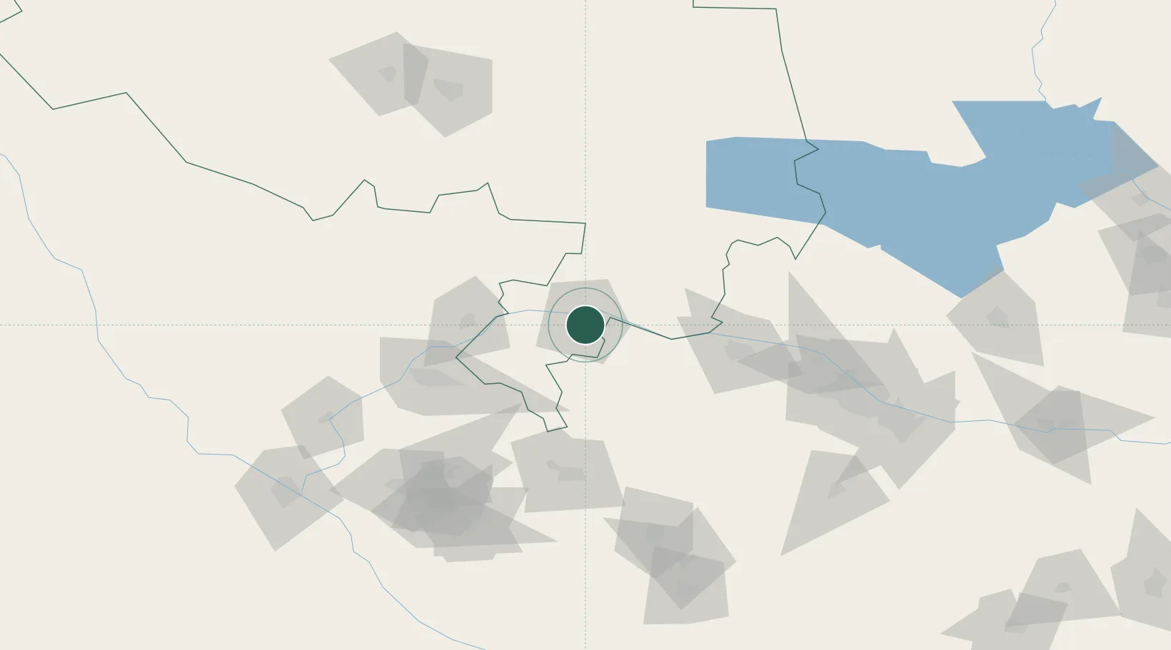
Nearby Logistics Neighbours

Cities
  1. 1Karshi167 km
  2. 2Farap183 km
  3. 3Turkmenabat190 km
  4. 4Zarafshon190 km
  5. 5Galkynys209 km
Nearest neighbours — logibook spatial index (haversine) over the source coordinates
Ports
  1. 1Jazireh-Ye Hormoz1663 km
  2. 2Bandar Abbas1669 km
  3. 3Bandar-E Shahid Rejaie1680 km
  4. 4Khawr Khasab1760 km
  5. 5Bushehr1812 km
Nearest neighbours — logibook spatial index (haversine) over the source coordinates
Airports
  1. 1Navoi International Airport16 km
  2. 2Bukhara International Airport84 km
  3. 3Samarkand International Airport145 km
  4. 4Karshi Airport149 km
  5. 5Sugraly Airport193 km
Nearest neighbours — logibook spatial index (haversine) over the source coordinates
Trade Zones
  1. 1Navoi Free Industrial Economic Zone19 km
  2. 2Gijduvon Free Economic Zone62 km
  3. 3Bukhoro-agro Free Economic Zone88 km
  4. 4Chirakchi Free Economic Zone156 km
  5. 5Urgut Free Economic Zone178 km
Nearest neighbours — logibook spatial index (haversine) over the source coordinates
DatabookThe Record of Consolidated Knowledge
Uzbekistan beyond logistics?
Browse databook

All Sources

LocationsUN/LOCODE
UN/LOCODE — free
Portsthe NGA World Port Index
Public domain (US gov)
AirportsOurAirports
Public domain
Trade Zonesthe World Bank SEZ database
CC BY 4.0
Trade ZonesOpen Zone Map
CC BY
← Uzbekistan locations