UN/LOCODE hub · Thailand
THSGK
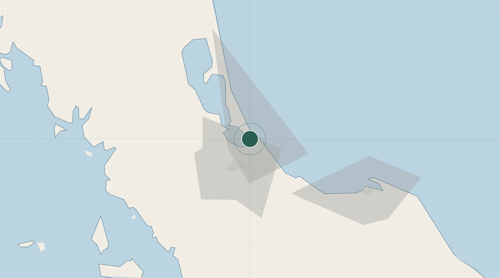
Songkhla
7.1855°, 100.5527°
61,758
Population
2
Transport functions
1
Container terminals
Transport Functions
Port
Road
Hub Profile
Place type
Regional capital
Region
Songkhla
Population
61,758
Time zone
Asia/Bangkok
Elevation
12 m
Logistics facilities
6
Container terminals
1
Location
Nearby Logistics Neighbours
Cities
- 1Padang Besar, Thailand65 km
- 2Sadao Customs House72 km
- 3Bukit Keteri80 km
- 4Ban Prakop Customs House82 km
- 5Satun83 km
Ports
- 1Pattani87 km
- 2Kantang Harbor117 km
- 3Port Langkawi121 km
- 4Pulau Pinang198 km
- 5Krabi205 km
Airports
- 1Songkhla Airport6 km
- 2Hat Yai International Airport33 km
- 3Pattani Airport80 km
- 4Trang Airport109 km
- 5Sultan Abdul Halim Airport112 km
DatabookThe Record of Consolidated Knowledge
Thailand beyond logistics?