Medium airport · Thailand
Ranong AirportVTSR
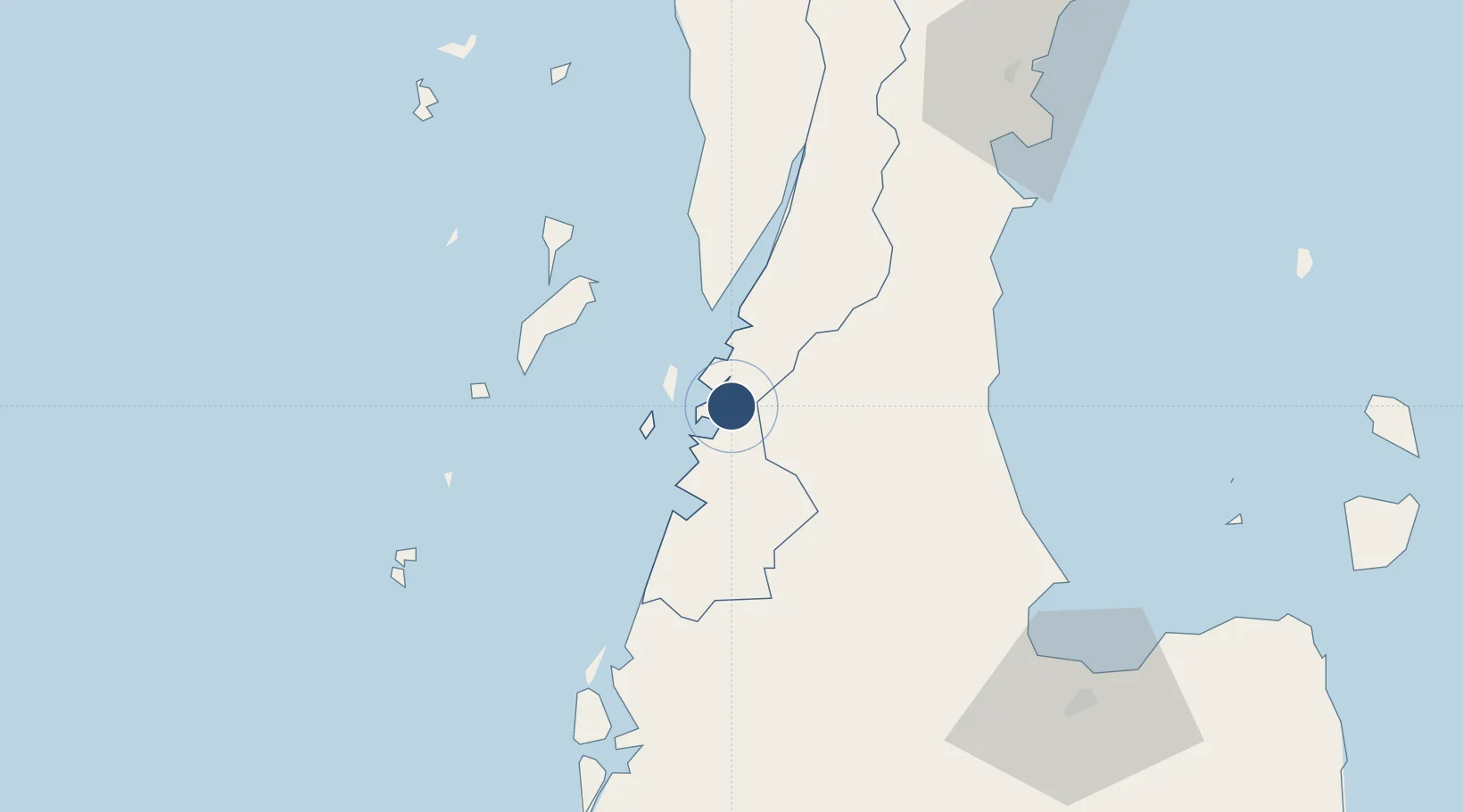
9.7776°, 98.5855°
6,562 ft
Longest runway
1
Runways
57 ft
Elevation
Runway & Layout

Radio Frequencies
ATIS
37.5 MHz
TWR
122.25 MHz
APP
125.1 MHz
Navaids
RAN VOR-DME Ranong 113.40 MHz
RN NDB Ranong 375 kHz
Runways · 1
| Runway | Dimensions | Surface | True heading | Lit |
|---|---|---|---|---|
| 02/20 | 6,562 × 148ft | Concrete | 024° | ✓ |
Airport Specifications
IATA code
UNN
ICAO code
VTSR
Airport class
Medium airport
Scheduled service
Yes
Runway surface
Concrete
Served city
Ranong
Location
Nearby Logistics Neighbours
Airports
- 1Kawthoung Airport31 km
- 2Surat Thani Airport94 km
- 3Chumphon Airport134 km
- 4Samui International Airport164 km
- 5Phuket International Airport187 km
Cities
- 1Ranong22 km
- 2Lang Suan65 km
- 3Surat Thani94 km
- 4Chumphon104 km
- 5Ban Talat Takua Pa108 km
Ports
- 1Khanom158 km
- 2Bang Saphan192 km
- 3Krabi194 km
- 4Phuket217 km
- 5Kantang Harbor284 km
Trade Zones
DatabookThe Record of Consolidated Knowledge
Thailand beyond logistics?