Transport Functions
Port
Road
Hub Profile
Place type
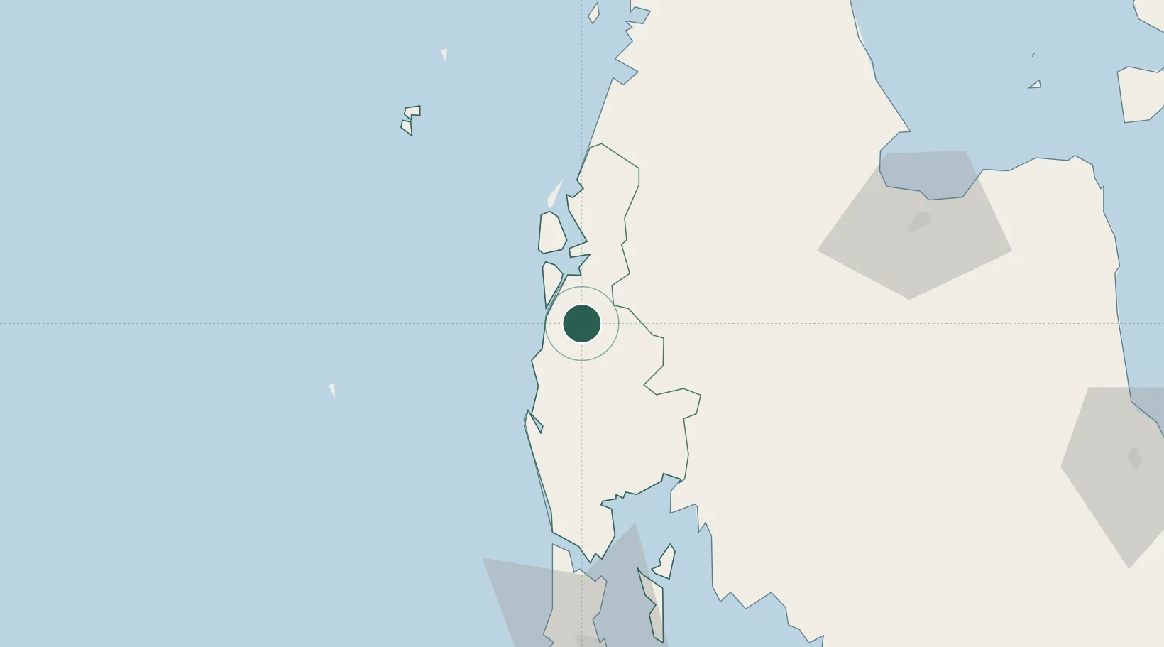
Populated place
Region
Phang Nga
Time zone
Asia/Bangkok
Elevation
13 m
Location
Nearby Logistics Neighbours
Cities
- 1Phang-Nga51 km
- 2Surat Thani91 km
- 3Krabi94 km
- 4Ko Lanta105 km
- 5Ko Yao107 km
Ports
- 1Krabi105 km
- 2Phuket111 km
- 3Khanom173 km
- 4Kantang Harbor204 km
- 5Bang Saphan294 km
Airports
- 1Phuket International Airport80 km
- 2Surat Thani Airport91 km
- 3Krabi International Airport107 km
- 4Ranong Airport108 km
- 5Kawthoung Airport137 km
DatabookThe Record of Consolidated Knowledge
Thailand beyond logistics?