Transport Functions
Port
Rail
Road
Hub Profile
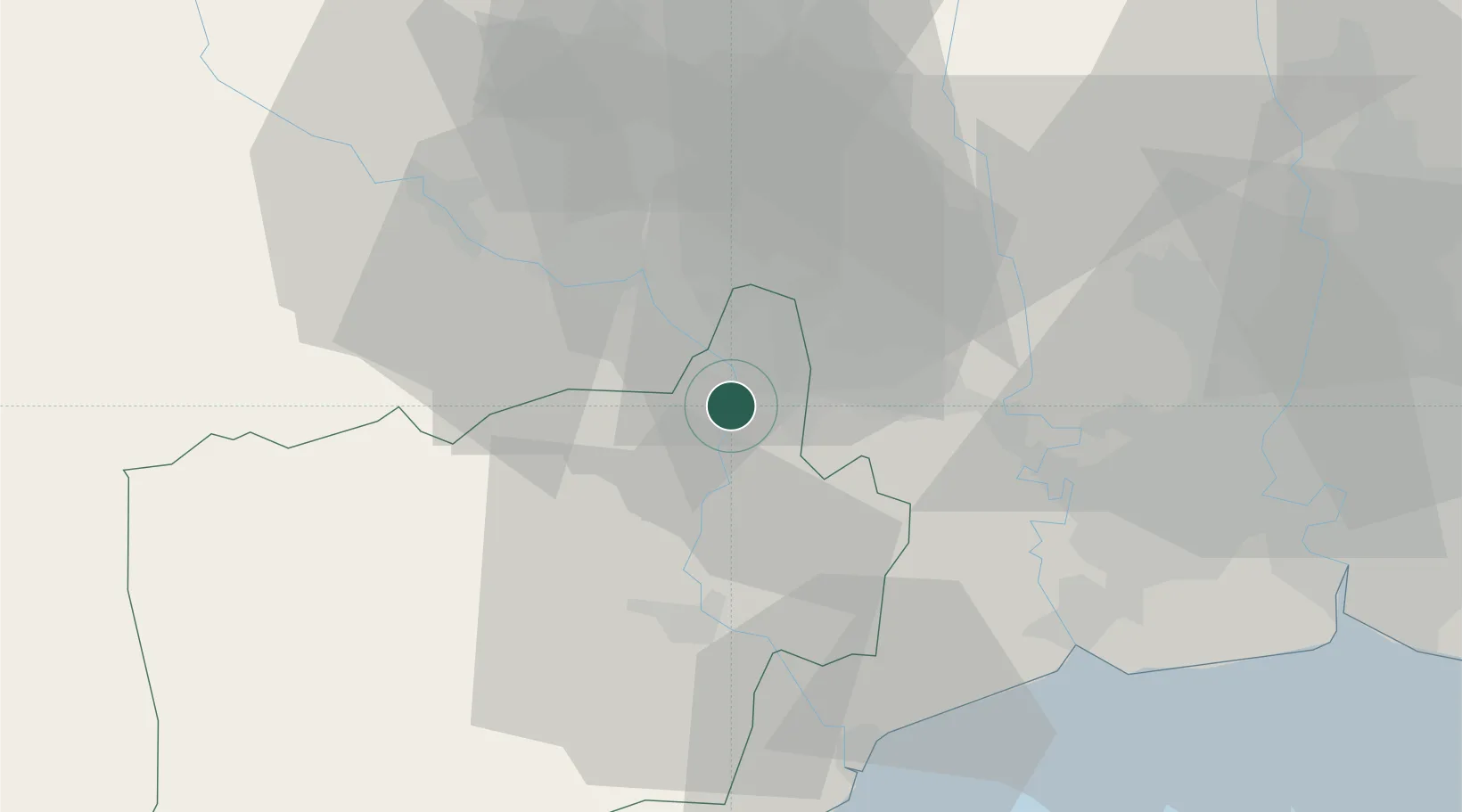
Place type
Provincial seat
Region
Ratchaburi
Population
57,559
Time zone
Asia/Bangkok
Elevation
16 m
Location
Nearby Logistics Neighbours
Cities
- 1Photharam13 km
- 2Ratchaburi31 km
- 3Bangsu38 km
- 4Mae Klong50 km
- 5Samut Sakhon, Changwat50 km
Ports
- 1Bangkok69 km
- 2Ko Si Chang Terminal125 km
- 3Siam Seaport133 km
- 4Si Racha Terminal134 km
- 5Laem Chabang136 km
Airports
- 1Kamphaeng Saen Airport34 km
- 2Don Mueang International Airport81 km
- 3Suvarnabhumi Airport96 km
- 4Hua Hin Airport130 km
- 5Khok Kathiam Airport147 km
Trade Zones
DatabookThe Record of Consolidated Knowledge
Thailand beyond logistics?